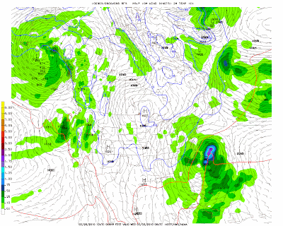
The system that threatens to bring snow to our area Tuesday night and Wednesday now appears that it will mostly miss us as it moves to our south then up the coast, but well east of the area.
Here is today’s 12z GFS showing the progression of the storm at hours 66, 72 and 78 (1AM Wed, 7AM Wed, and 1PM Wed):
As you can see, the models show a pretty powerful storm developing, but the track is well south and then east of us. This model run still shows rain or snow showers for the area, but nothing major.
There is still the possibility that the track could change, but that is looking more unlikely.


