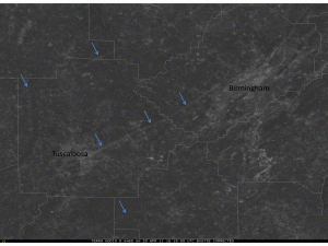
The fine folks over at the Space Science and Engineering Center at the University of Wisconsin-Madison have put together several satellite images that show the paths of the tornadoes that affected Alabama, including several before and after shots.
Here is one of the images:

Check out the rest of the images here: http://cimss.ssec.wisc.edu/goes/blog/archives/7910
