Another nice day today before a cold front moves through tomorrow night. Ahead of the front, temperatures will be in the mid 80s today and tomorrow before showers and storms move in tomorrow afternoon and evening. Some of these storms could be severe with heavy rain, gusty winds and hail.
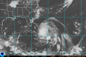
Friday is looking like another nice day and this weekend’s weather will depend on the track of Irene. Currently, the forecast track takes Irene up the coast and just off Virginia Beach by 2am Sunday. If this track holds, the state will be significantly impacted by the storm. Current model and forecast trends have pushed the track further to the east, and if this trend continues, the threat to Maryland will continue to diminish.
You can stay up to date with the NHC forecast by clicking on the map on the left toolbar.

