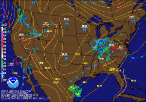
To the north and west of I-95, the precip will be primarily snow. These areas are currently under a Winter Weather Advisory for 1-2 inches of snow. Far western Maryland and areas along the Mason-Dixon line may see a little more.
The snow/rain will develop from west to east later this morning and early this afternoon and will impact the evening rush in the metro areas. The snow will end from west to east late this evening as the storm moves off the coast.
High pressure moves in tomorrow ahead of a cold front that will cross the area Friday night and Saturday, bringing in much colder air for the rest of the weekend and into next week.
