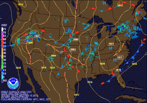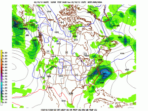
High pressure builds in for Friday into Saturday bringing mostly sunny skies and highs around 50. The high will gradually move off the coast ahead of the next possible storm system that could affect the area on Sunday.

There are a lot of different variables to deal with and many different solutions depending on the timing of each. It is too early to give any specific forecast, but the pieces are in place for the first time this winter for a potential significant snowfall in the Mid-Atlantic area.
As the National Weather Service said “it is simply a waiting game” to see how it develops at this point.
