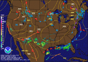
Now, on to the big weather story. Overnight, the models that had been showing the storm staying further south have shifted the storm north, while the models that were bringing it further north have shifted to the south. As you know with these systems, the exact track is impossible to determine at this point and any shift at all in the track has a drastic impact on the weather for our area.
What we do know at this point is that the storm system that is currently forming over the southwest will continue to move eastward along the Gulf coast. At that time, it will begin to interact with northern stream energy diving out of Canada. This will help pull the system northward and strengthen it. What we don’t know is how far north the storm will come, and when it does, how much cold air it will run into.
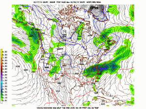
Here is the latest NAM solution for Sunday evening:
Here is the latest GFS solution for Sunday evening:
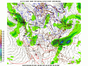
What you can notice on both models is how sharp the cutoff is on the northern edge of the precipitation. That will further complicate the forecast, as totals range from near a half inch of liquid to nothing over about 100 miles. Both models show between .25 and .50″ of liquid total, but again a slight jog in the track makes a huge difference:
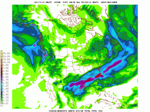
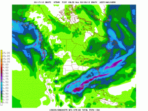
In any case, this will not be a crippling snowstorm and will start as rain for most areas east of I-95. At this point, it looks as though rain will change to snow Sunday afternoon and several inches of snow are likely for the Balt/DC metro areas, with more to the NW and less to the SE.
This forecast will be updated this evening and tomorrow as more data comes in and hopefully we gain a stronger model consensus.
