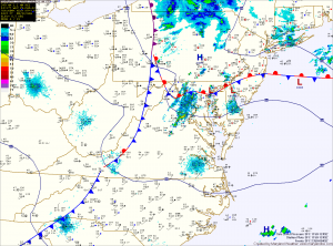
Another area of low pressure is expected to take a similar track as the one that affected the region yesterday. As the low moves into the Great Lakes, it will pull moisture up the east coast ahead of another cold front. Expect rain to develop Friday evening and continue through Saturday afternoon. Rainfall totals will approach, and possibly top an inch in many places again.
Behind the cold front, much cooler air will filter into the area. Expect highs on Sunday and Monday to top out in the mid to upper 40s before gradually warming up as we move into the middle of next week.
