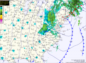
Highs in western Maryland will be in the 30s, further east highs will struggle into the upper 40s.
The storm will cut off from the main flow this week, allowing unsettled weather to continue as pieces of energy rotate around the storm.
Expect high temperatures to be the 60s with mostly cloudy skies through the week. Scattered showers are also expected today and tomorrow and again Wednesday night and Thursday.
The pattern changes as we move towards next weekend, allowing for slightly warmer temperatures and more sunshine.
