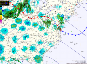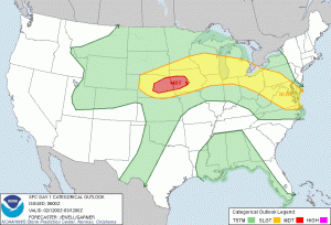
It appears that there will be enough instability for some of these storms to become severe, with damaging winds and hail.

…MD…ERN VA…ERN NC…
STRONG HEATING IS EXPECTED ACROSS THE AREA…PERHAPS IN THE WAKE OF REMNANTS FROM THIS EVENINGS STORMS UPSTREAM OVER WV. FORECAST SOUNDINGS INDICATE THAT 1500-2000 J/KG MLCAPE WILL BE PRESENT AND NO CAPPING WILL EXIST. WITH WNWLY FLOW ALOFT…ANY STORMS THAT FORM UPSTREAM WILL HAVE THE POTENTIAL TO GROW UPSCALE INTO AN MCS CAPABLE OF BOTH WIND AND MARGINAL HAIL.
Any storms that develop this afternoon will weaken this evening as we lose the day time heating and a backdoor cold front moves from east to west. This front will may touch off a shower or storm later tonight.
We spend most of tomorrow in between disturbances. It will be partly sunny with highs in the low 80s. A weak system will cross the area on Friday, bringing another chance of showers and storms to the state. Expect Friday to be the warmest day of the week, with high temperatures into the mid to upper 80s.
Another cold front is expected to cross the area sometime during the weekend, dropping temperatures back into the 70s for highs.
