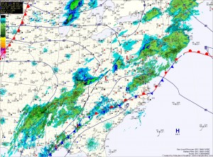
Current trends bring the low far enough north to bring heavy snow to parts of the state.
A Winter Storm Watch has been issued by the National Weather Service for all of central and southern Maryland.
There will be a very sharp cutoff to the precipitation on the northern edge, but current thinking is that heavy snow and/or rain snow mix will develop tomorrow morning across, quickly changing to all snow.
The snow will continue, heavy at times into tomorrow night before tapering off.
At this time, it appears the heaviest snow will fall to the south of Baltimore. If the northern shift continues, heavier snow will fall further north.
Accumulation totals of over 5 inches are possible across central and southern Maryland, tapering to an inch or two further north.
An update to this forecast will be issued later this evening if needed.
