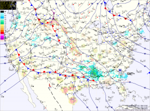
Tomorrow will be similar to today, although not as windy. Clouds will begin to increase during the late afternoon in advance of a storm system that will begin to affect the area on Sunday. Highs will be in the low 50s.
An area of low pressure is expected to move northward to our west before dying out while another area forms off the coast. The exact placement, strength and timing of this transfer will determine precipitation types across the state.
Current thinking is snow will be likely across far western Maryland, while further east, rain is likely late Sunday afternoon. Sunday night, the rain may change to snow in central Maryland before changing back to rain Monday morning. With very marginal temperatures and the time of year, I do not anticipate any snowfall impact across most of the state. In far western Maryland, accumulating snow is likely.
The storm will be pulling away from the area late Monday, bringing an end to the precipitation by Monday night.
Behind the system, another quiet but below normal temperature stretch is likely with highs in the 40s to around 50 through the end of the week.
Yesterday’s Weather Station Stats:
High Temp: 43.4°
Low Temp: 29.0°
Rain: 0.00″
