
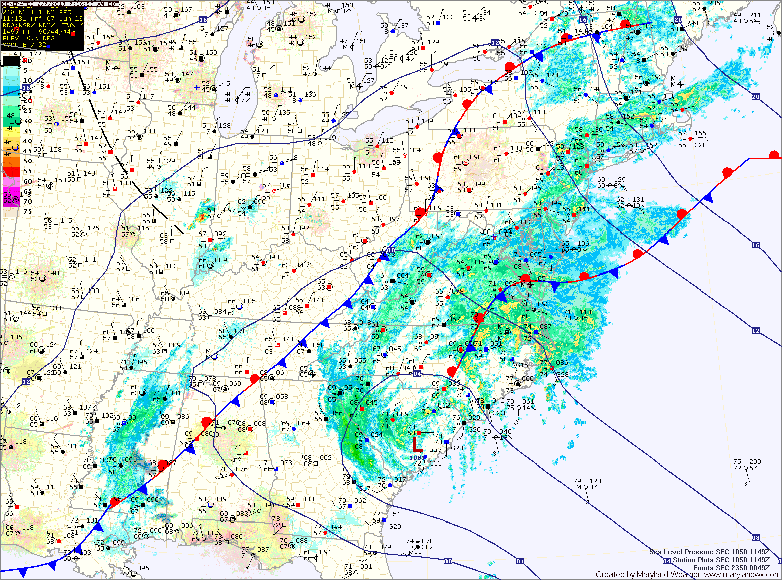
Over an inch of rain has fallen across most of the state and another 2-3 inches with isolated spots over 4 are possible today and tonight. Consequently, a Flash Flood Watch is in effect for most of the state, east of the mountains through tonight.
Rain from Andrea will taper off around midnight tonight as the storm system races off to the northeast. Behind the system, warm, moist, tropical air will be left in place. This will set the stage for a muggy Saturday with scattered afternoon showers and thunderstorms. Highs will be around 80 degrees.
Rain chances decrease on Sunday but it will remain warm and humid. An isolated afternoon thunderstorm is possible, but most areas will remain dry. Highs will be in the mid to upper 80s.
Shower and thunderstorm coverage will increase again on Monday as another front approaches the area. Highs will be in the mid to upper 80s.
The front will push through Monday night or early Tuesday, leading to slightly cooler and drier air for the latter half of the week.
Yesterday’s Weather Station Stats:
High Temp: 74.6°
Low Temp: 59.6°
Rain: 0.15″