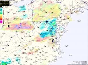
The snow will continue into the afternoon before tapering off. A dusting to perhaps a half inch of accumulation is possible this morning before the sun returns and temperatures warm into the mid to upper 30s.
Another disturbance will move through tonight into tomorrow, bringing another round of light snow lasting through tomorrow morning. Another half inch is possible from this system, most if not all of which will melt by tomorrow afternoon. It will also be windy and afternoon highs will be in the low to mid 30s.
Much colder air moves in tomorrow night, dropping lows into the upper teens to around 20.
Thursday will be mostly sunny but windy with highs in the upper 30s.
Friday will be sunny and cold, with highs around 30.
The weekend looks mostly quiet and cold with partly sunny skies and highs in the mid to upper 30s.
Another system looks to affect our area during the beginning of next week.
Yesterday’s Weather Station Stats:
High Temp: 43.7°
Low Temp: 26.2°
Rain: 0.02″
