
A HEAT ADVISORY is in effect for most of Central Maryland.
Additionally, the heat and humidity will fuel development of late afternoon and evening thunderstorms. Some of these storms will become severe with damaging winds and large hail as the main threat. Any storm will also be capable of producing very heavy rainfall, leading to localized flash flooding.
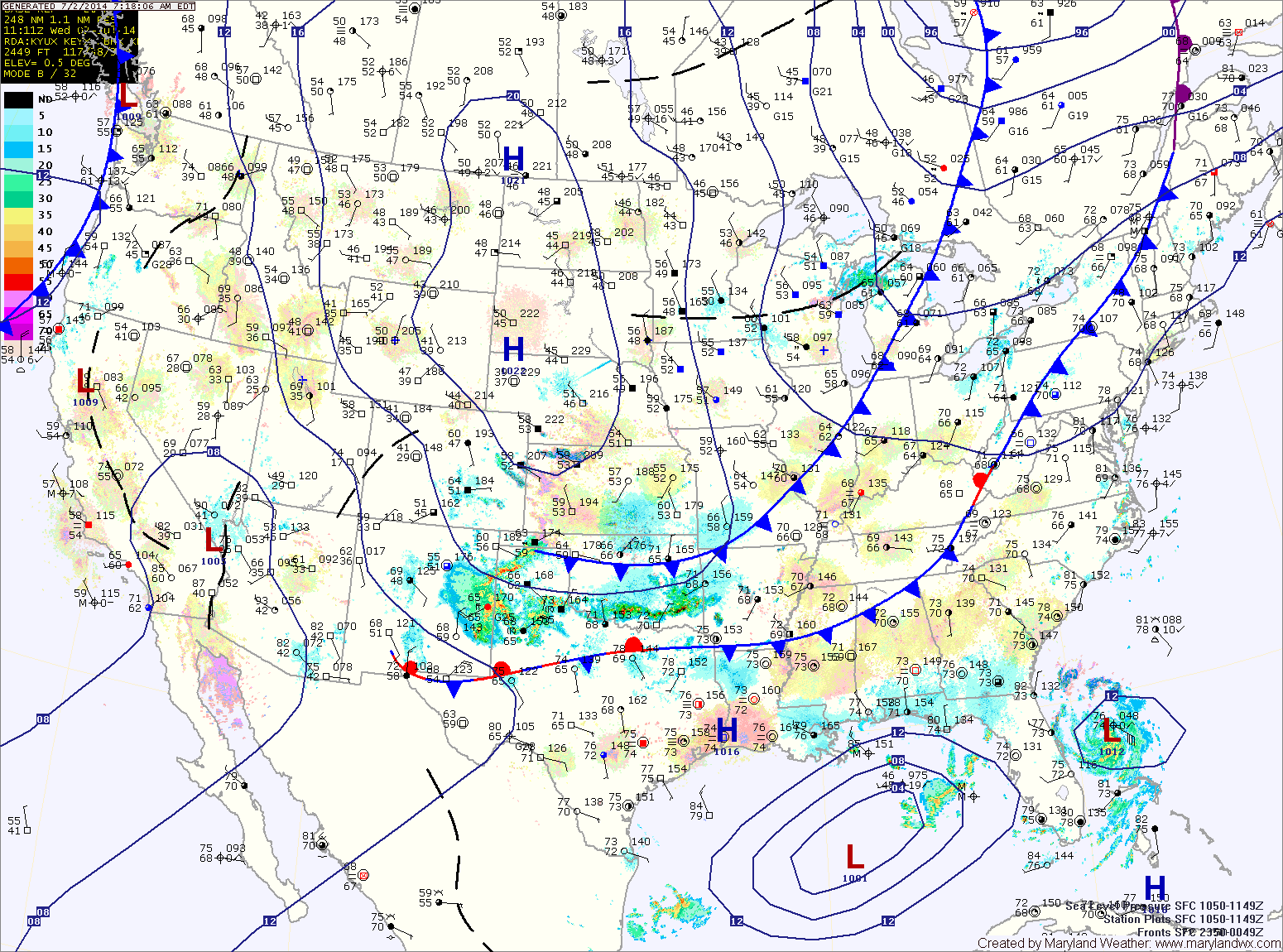
Thunderstorms chances will continue tonight and activity will increase again tomorrow afternoon as a cold front approaches from the west. Just like today, these storms will be capable of producing very heavy rainfall, damaging winds and large hail. Highs tomorrow will be in the upper 80s.
The front will push through late Thursday night into Friday morning, bringing an end to the rainfall and ushering in cooler and drier air. By this time, Tropical Storm Arthur will be passing by, well off of the coast. As a result, Friday will feature decreasing clouds and highs in the low to mid 80s.
High pressure will take control this weekend. Expect sunny skies Saturday and Sunday with highs in the low to mid 80s.
The high will push off the coast late Sunday, allowing warmer and more humid conditions to return as we move into next week.
Yesterday’s Weather Station Stats:
High Temp: 90.2°
Low Temp: 70.1°
Rain: 0.00″