Tomorrow will start out mostly sunny but clouds will increase through the day as the next weather maker approaches. Highs will be in the mid to upper 50s.
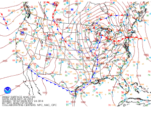
As the front that passes through today pushes off the coast, an area of low pressure is expected to develop along it. The low will develop off of the South Carolina coast and move northeastward along the East Coast Wednesday, spreading precipitation into our area Wednesday morning.
Temperatures will be cold enough for most of the precipitation to fall as snow north and west of I-95. Along 95 expect rain, changing to snow by Wednesday evening. Further east, the changeover will occur late Wednesday night.
At this time, the possibility exists for several inches of snow accumulation Wednesday evening and Wednesday night. The exact details will be worked out over the next 24-36 hours.
The storm will pull away from the area late Wednesday night and Thursday morning, bringing an end to the snow. Highs on Thursday will be around 40.
It will remain dry into the weekend with temperatures in the low to mid 40s.
