
Temperatures will continue to slowly fall into the low to mid 30s under mostly sunny skies.
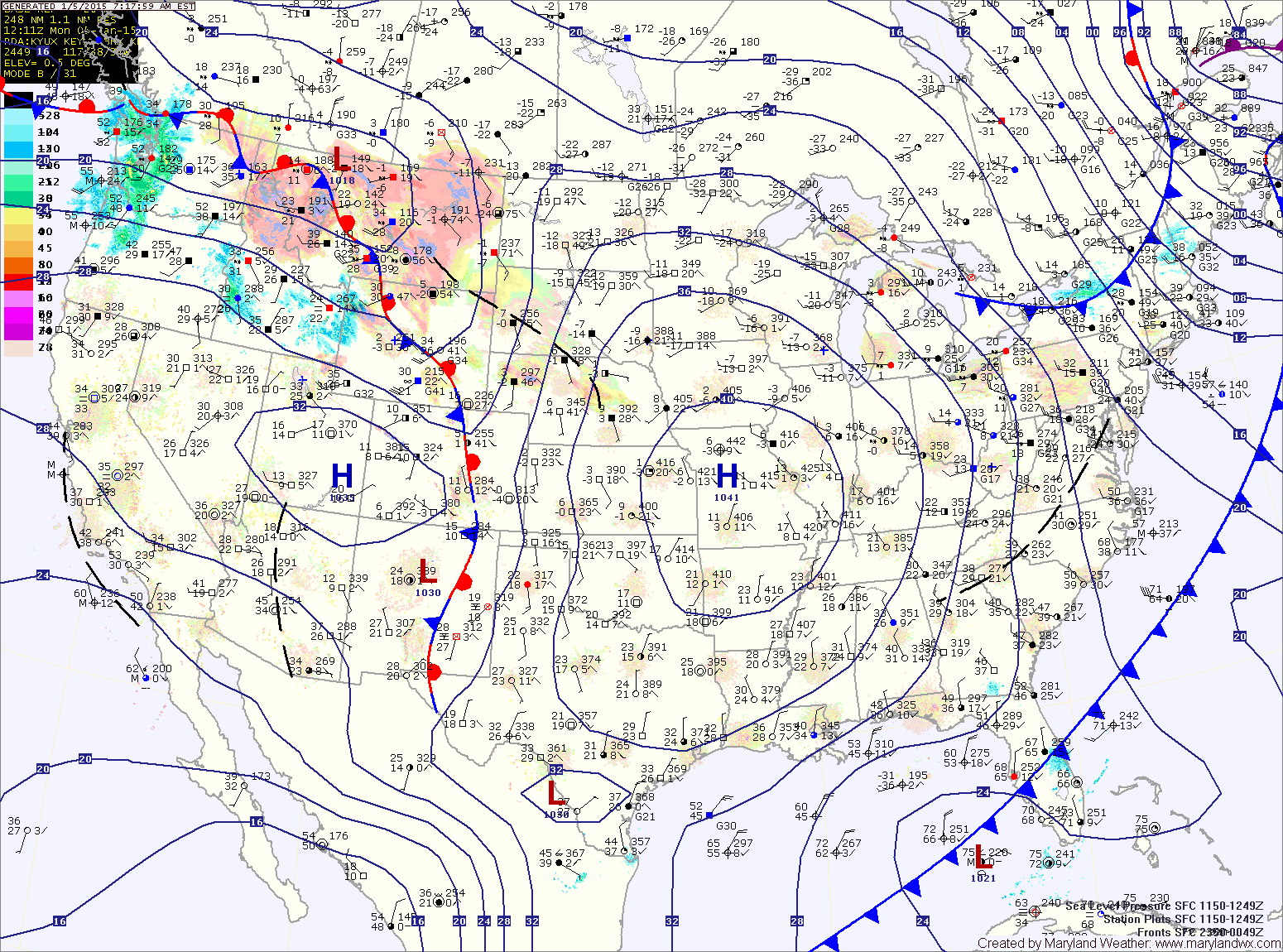
A clipper system will move into our region late tonight or early tomorrow morning. This system will produce a band of light snow across the state as is pushes through during the morning and afternoon hours. Highs will be in the low 30s.
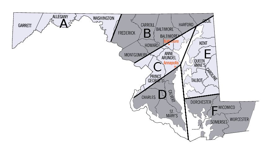
Further south, up to an inch is possible (Zone D) while the lower Eastern Shore (Zone E) will likely see nothing more than a few flurries.
These snowfall amounts are highly dependent on the track of the system and there will be a sharp cut off to the snow. Should the track change, this forecast will be updated.
Behind the system, colder air will begin to flow into the region on strong northwest winds. Highs on Wednesday will top out in the upper 20s to near 30 and lows will fall into the lower teens Wednesday night.
Temperatures will not rebound much on Thursday, with highs only reaching the low to mid 20s with continued gusty winds.
We will remain dry and cold into the weekend, with highs in the low 30s Friday through Sunday.