
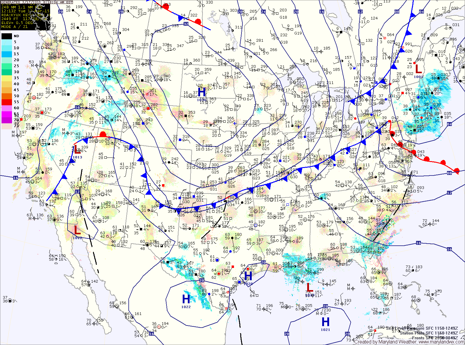
The front will pass through this afternoon with just a slight chance of a sprinkle as it does. It will be warm today, with highs in the mid to upper 60s.
Temperatures will tumble tonight on gusty northwest winds, falling into the 20s in most places.
Tomorrow will be noticeably colder, perhaps 20° colder than today, and windy. Highs only reaching the mid 40s under mostly sunny skies. Winds will gust to near 25mph.
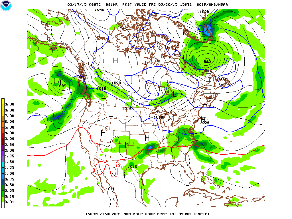
Thursday will feature increasing clouds as low pressure approaches from the southwest. Highs will be in the mid 40s.
Lows Thursday night will be in the low 30s, highs on Friday will be in the low to mid 40s.
The rain will taper off and end Friday evening and a cold front will pass through over the weekend. Saturday should be warmer, with highs reaching the low to mid 50s before cold Canadian high pressure builds in Sunday and into next week. Expect highs back into the 40s Sunday and Monday under mostly sunny skies.
Stay up to date with storm information on your favorite social media site!
Follow me on Twitter, Facebook and Google+!