
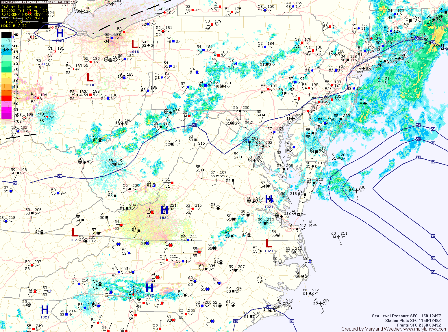
A weak disturbance is pushing through the region today, bringing light showers and possibly a thunderstorm this afternoon. The system will push through this evening, allowing high pressure to return tomorrow.
SATURDAY: It will be a gorgeous day with plenty of sunshine as high pressure builds in and skies clear. Highs will be in the mid to upper 70s.
SUNDAY: Skies will begin to cloud up, with generally cloudy skies expected by the afternoon and evening as a strong storm system and cold front approach from the west. Rain is likely Sunday night out ahead of the front. Highs will be in the mid to upper 60s.
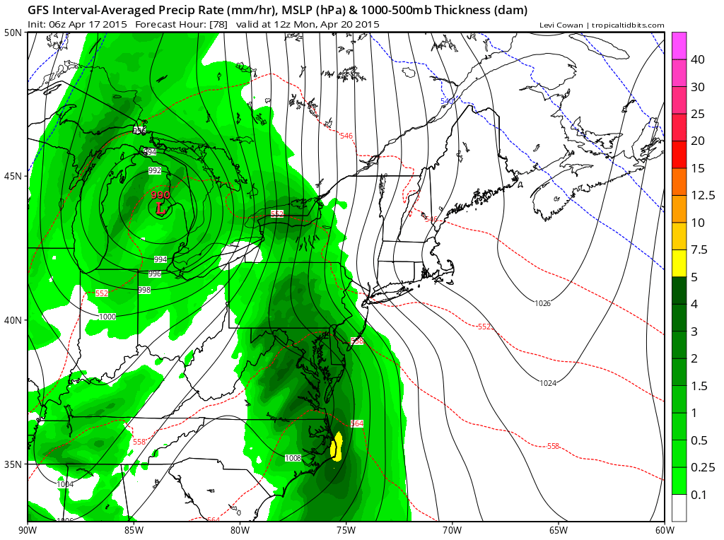
LOOKING AHEAD: High pressure will return on Tuesday and last through Wednesday. Another front will bring a chance of showers late Wednesday or early Thursday.
Stay up to date with storm information on your favorite social media site!
Follow me on Twitter, Facebook and Google+!