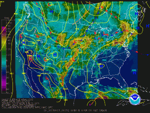
TODAY: A stalled out cold front will remain over the area today, providing a mechanism for continued shower and thunderstorm development through this afternoon and into this evening. Highs will be in the upper 80s.
TUESDAY: Another front will move in from the northwest. This front will touch off more showers and thunderstorms during the afternoon and evening. Some of these storms could become severe, with damaging winds and large hail as the primary threat. Highs will be in the upper 80s to low 90s. The front will likely stall out over or just south of the area Tuesday night.
WEDNESDAY: The front will remain to our south, allowing slightly cooler and drier air to set up over the area. Highs will be in the mid 80s under mostly sunny skies.
THURSDAY: The front will be pushing back northward into the area as a warm front. Additionally, an area of low pressure will form along it and move through the area. Expect showers and possibly thunderstorms, with highs in the upper 80s.
FRIDAY: Yet another front will move into the area by Friday morning, once again stalling out over the area. This will keep shower and thunderstorm chances in the forecast. Highs will be in the mid to upper 80s.
WEEKEND OUTLOOK: The front will remain in the area, with more scattered showers and thunderstorms possible both Saturday and Sunday. Highs will be in the mid 80s on Saturday, warming to the upper 80s on Sunday.
Stay up to date with storm information on your favorite social media site!
Follow me on Twitter, Facebook and Google+!
