
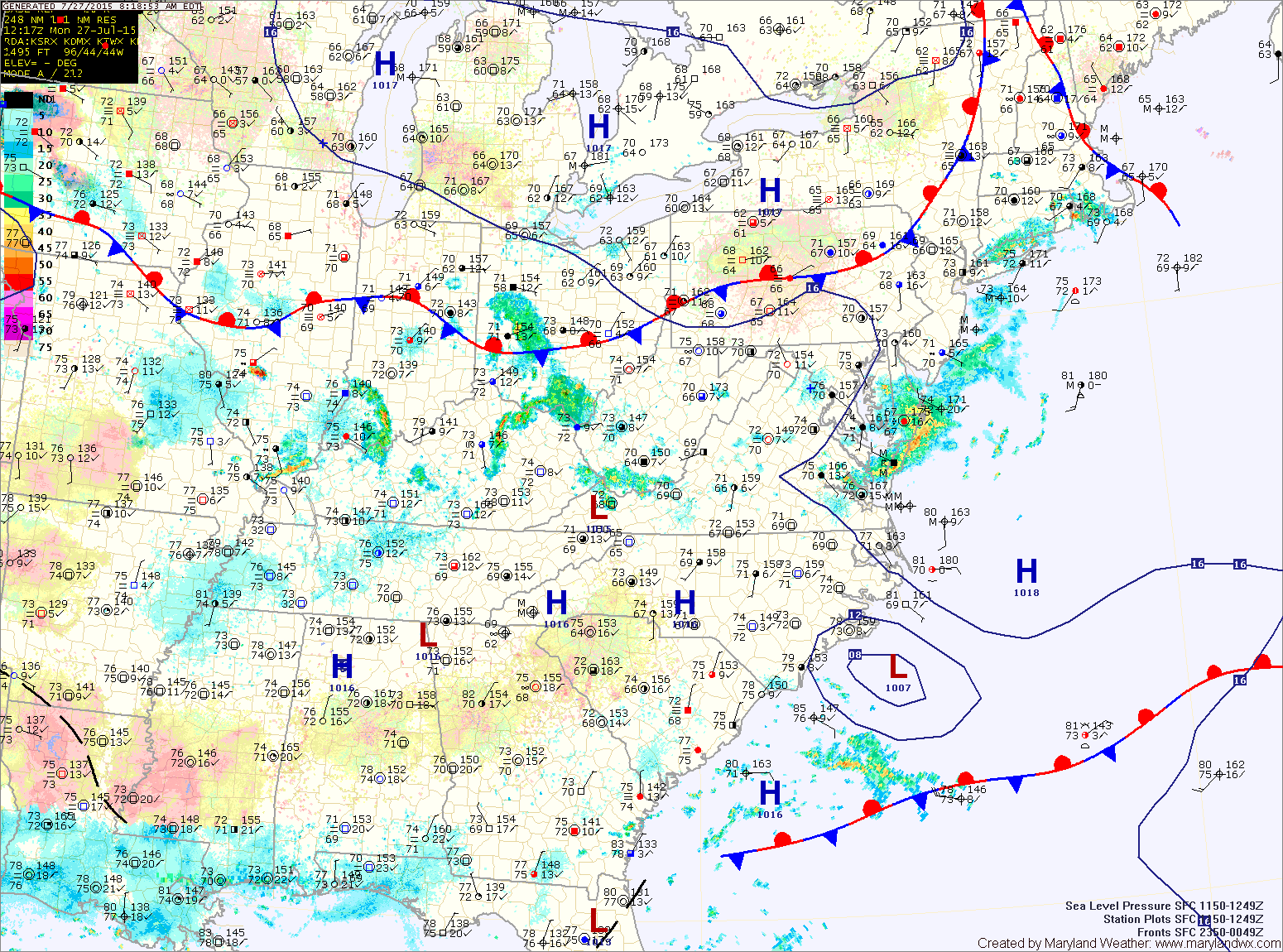
A weak front will remain to our north today as high pressure builds in from the west. High pressure will remain in control into Thursday before a cold front moves through with high pressure building in behind it for the weekend.
TUESDAY: High pressure builds in resulting in mostly sunny skies although an isolated afternoon thunderstorm cannot be ruled out. Highs will be in the upper 80s.
WEDNESDAY: With high pressure in control, expect a mostly sunny and warm day. Highs will be in the low to mid 90s.
THURSDAY: A cold front will approach from the west, triggering showers and thunderstorms during the afternoon and evening. It will be warm, with highs in the mid 90s.
FRIDAY: The front will clear the area by early Friday, ushering in high pressure for the weekend. It will be mostly sunny and warm with highs around 90°.
WEEKEND OUTLOOK: It will remain mostly sunny and warm both Saturday and Sunday. Highs will be around 90° both days.
Stay up to date with storm information on your favorite social media site!
Follow me on Twitter, Facebook and Google+!