
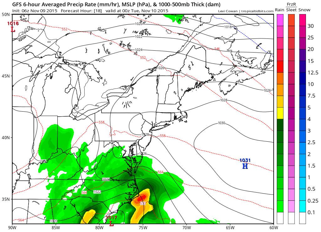
Summary: Low pressure along the Gulf coast is moving northeastward towards our area today and tomorrow. Another storm system will move to our northwest, bringing a cold front through on Thursday followed by high pressure for the end of the week and into the weekend.
High pressure builds in Wednesday, leading to mostly sunny skies and highs in the low to mid 60s.
A cold front will swing through on Thursday with another chance of showers. Highs will be in the low 60s.
High pressure returns on Friday and persists through the weekend and into next week. Expect mostly sunny skies and highs in the 50s Friday through Sunday.
Stay up to date with storm information on your favorite social media site!
Follow me on Twitter, Facebook and Google+!