
After trending away from a storm for our area this weekend, the latest runs of the major models have trended back to a potential snowy solution on Sunday.
With such a volatile pattern, and differing model outputs, it is still too early to lock in on a forecast or specifics, but for now, the chances of snow on Sunday have gone back up.
Below is a loop showing 7 different model solutions for 7AM Sunday morning:
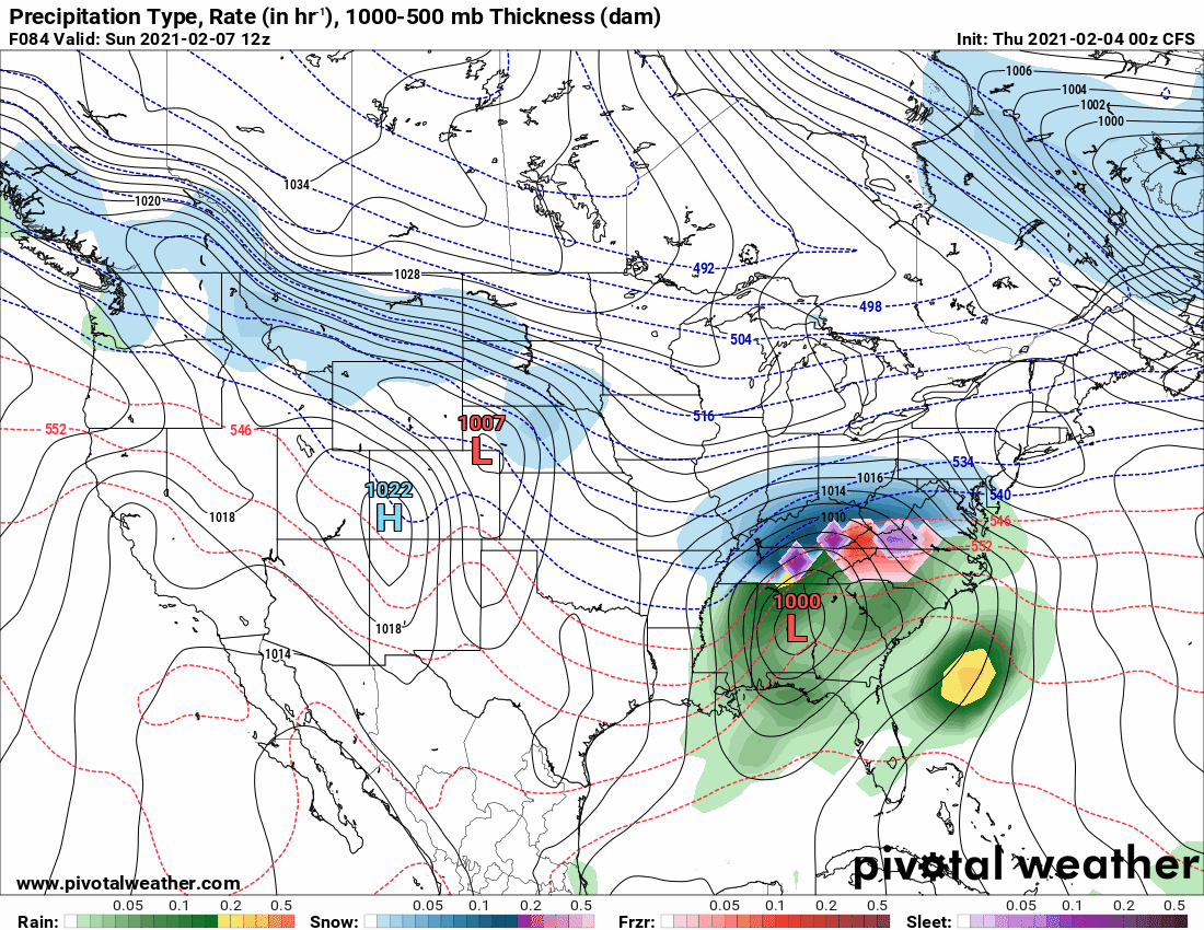
The big takeaway here is that while they differ a bit on strength and position, 5 of the 7 models now have low pressure along the SE coast, far enough north to spread snowfall into our area.
I will continue to review the latest information over the coming days and provide updates as warranted.