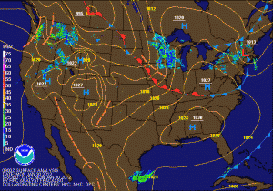
Light snow today
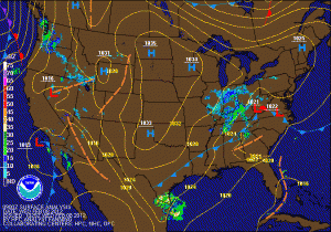
To the north and west of I-95, the precip will be primarily snow. These areas are currently under a Winter Weather Advisory for 1-2 inches of snow. Far western Maryland and areas along the Mason-Dixon line may see a little more.
Light rain and snow tomorrow
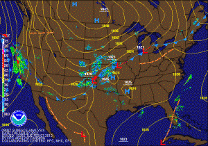
Sunny today and tomorrow… slight chance of rain Wednesday
Rain to snow looking more likely tomorrow evening into Sunday morning
Sunny today, chance of light rain or snow tomorrow night
High pressure will bring sunny skies to the region today and tomorrow with highs in the mid to upper 40s. Tomorrow night and early Sunday, an area of low pressure looks to move by just to our south and could bring light rain or snow to the area.
Gradual clearing today
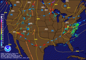
Highs approaching 70 today
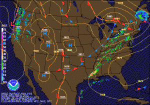
After some early morning showers, sunshine will break through the clouds and temperatures will once again rise well into the 60s to near 70. Today is the last day for the warmth, as a cold front will cross the area tonight bringing another round of showers as well. Showers will continue into tomorrow morning and highs will be knocked back into the low to mid 50s.
Highs in the 60s today and tomorrow
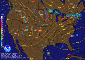 The end of January and the beginning of February will feel like April, as highs today and tomorrow will push into the mid 60s. High pressure continues to move off the South Carolina coast allowing southerly flow to develop, bringing in the warm air. Meanwhile, a cold front will move through tomorrow night with a chance of showers, only to move back through on Thursday as a warm front and more widespread rain. Total rainfall of up to a half inch will be possible statewide.

