Mostly Sunny End to the Week
A cold front has pushed off the coast and high pressure is starting to move into the region. Expect mostly sunny skies today with a high in the low to…

Everything you need to know about the weather in Maryland
Meanwhile, southerly flow will allow temperatures to warm into the low to mid 70s for highs this afternoon.
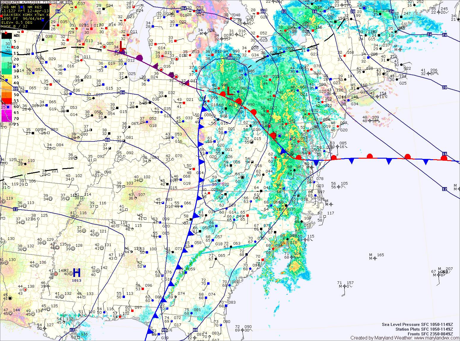
The front will cross tonight, bringing a chance of showers and thunderstorms as it does.
The front will have cleared the area by tomorrow, allowing cooler air to move in. Highs tomorrow will be in the low to mid 60s under decreasing clouds.
Southerly flow will develop tomorrow, ahead of a cold front. This will allow temperatures to rise into the mid to upper 70s under partly sunny skies.
The front will cross the state from east to west during the day tomorrow. Expect showers and thunderstorms to arrive ahead of the front. Showers and thunderstorms are likely during the late afternoon and evening hours.
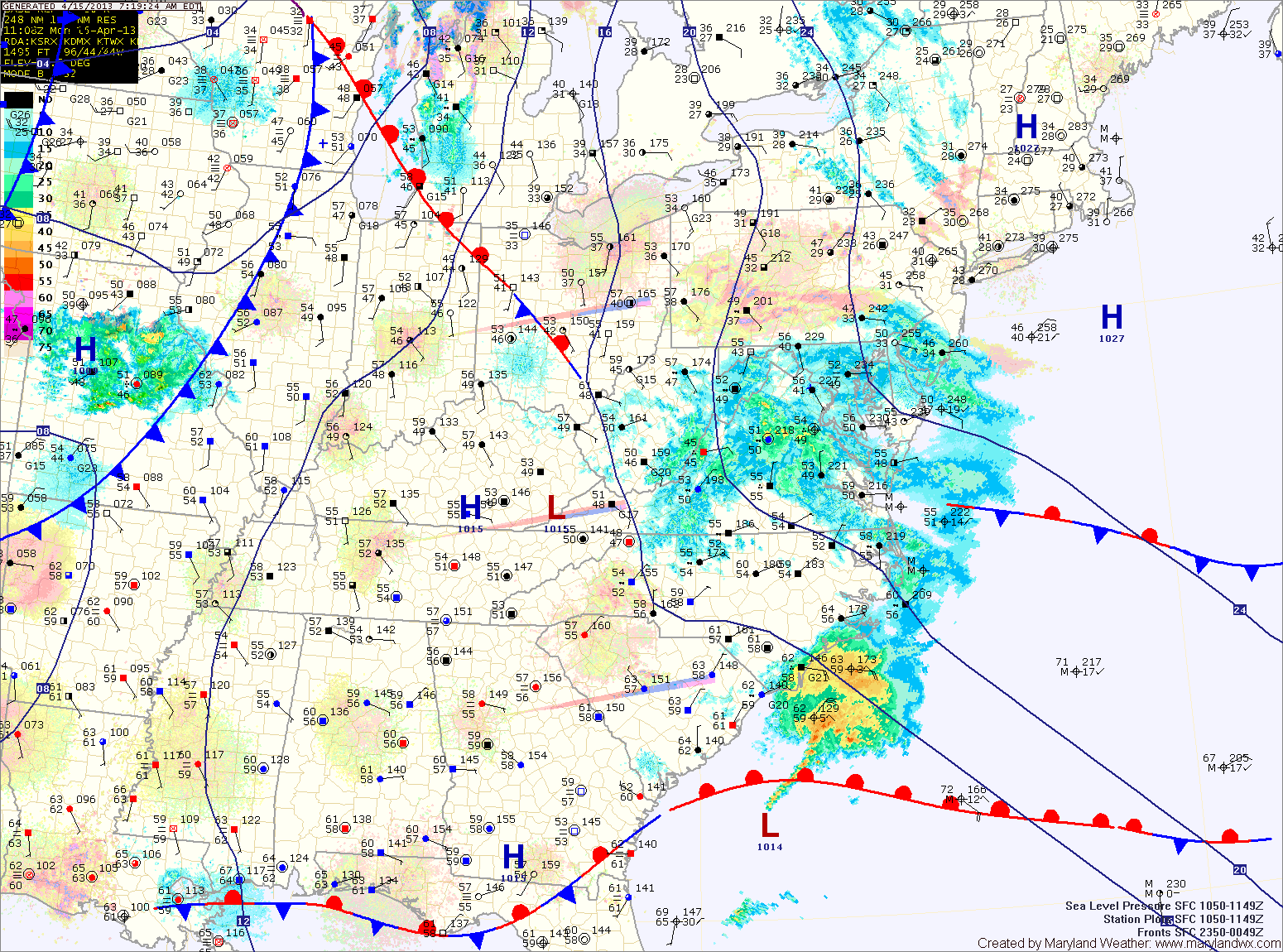
The low will pass by early tomorrow morning, bringing a slight chance of drizzle to the eastern portion of the state late tonight into tomorrow morning. Tomorrow will remain partly sunny with a high near 60.
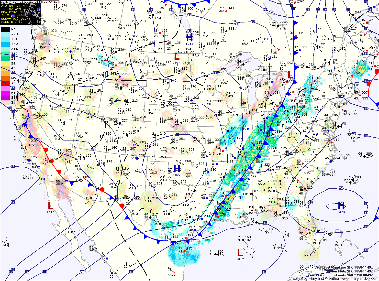
A cold front will approach the area tomorrow night and Wednesday. Showers and thunderstorms are expected to break out ahead of the front and spread into the area Wednesday afternoon and night. Highs Wednesday will be closer to normal for this time of year, topping out in the upper 60s to near 70.
Ahead of the front, it will be warm and windy with southwest winds gusting to near 35mph. Highs today will push into the upper 70s to low 80s.
Showers and storms will move in from west to east during the late afternoon and evening, bringing locally heavy rainfall and strong, gusty winds. Flash flooding will be possible this afternoon and evening.
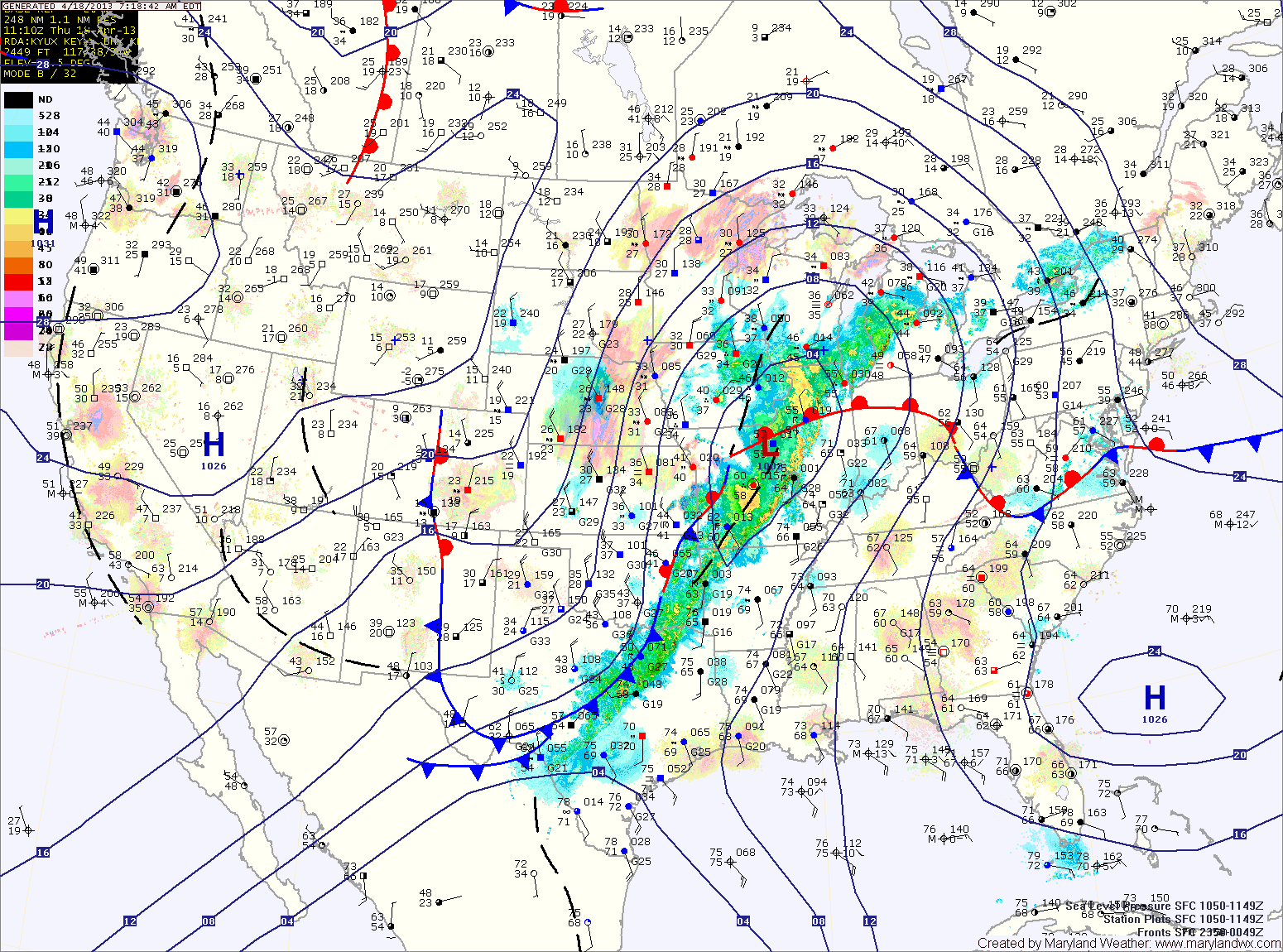
The front will clear the state during the afternoon, allowing southerly flow to develop and clear out the showers. Highs this afternoon will top out around 70 degrees under partly sunny skies.
A cold front currently across the midwest will move towards the area tomorrow. The front will cross the state tomorrow evening, but before it does, it will spread numerous showers and thunderstorms through. Some of the storms may produce gusty winds and locally heavy rainfall. High temperatures tomorrow will be in the mid to upper 70s.
Easterly flow will develop behind the front this evening, bringing in cool and moist air overnight.
Southerly flow will take over tomorrow, scouring out the cool/damp air and replacing it with warm humid air. Highs will push into the low to mid 70s.
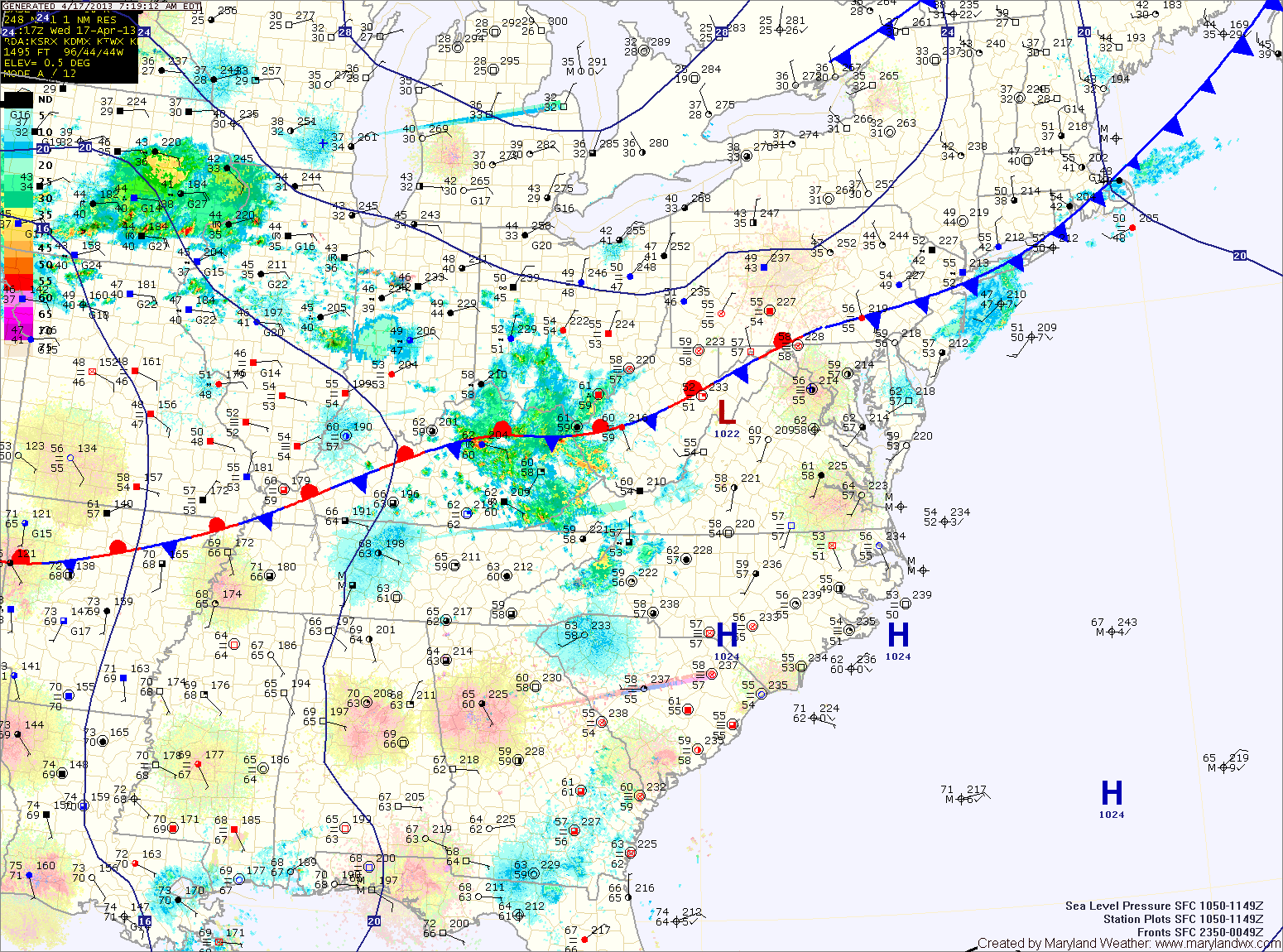
A cold front will approach on Friday. Ahead of the front, showers and thunderstorms will develop and move into the area Friday afternoon. Some of the storms may produce gusty winds and locally heavy rain. Highs on Friday will be in the mid 70s.
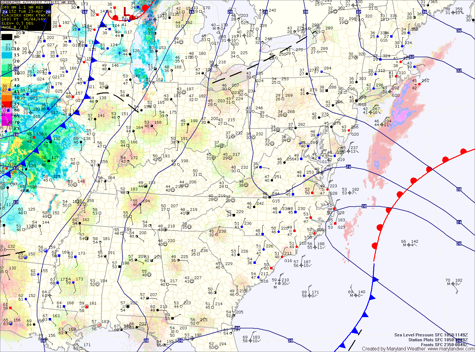
A weak cold front will sag south into the area tonight and persist through tomorrow. North of the front it will be in the mid 60s with moist, easterly flow, while south of the front, temperatures will push into the 70s. Areas near the front will also experience scattered showers and thunderstorms.
As of right now, it appears the front will slice across central Maryland, allowing southern Maryland to warm, while northern parts stay cooler. There is a slight chance of drizzle or light rain Wednesday night across the entire state as easterly flow persists.
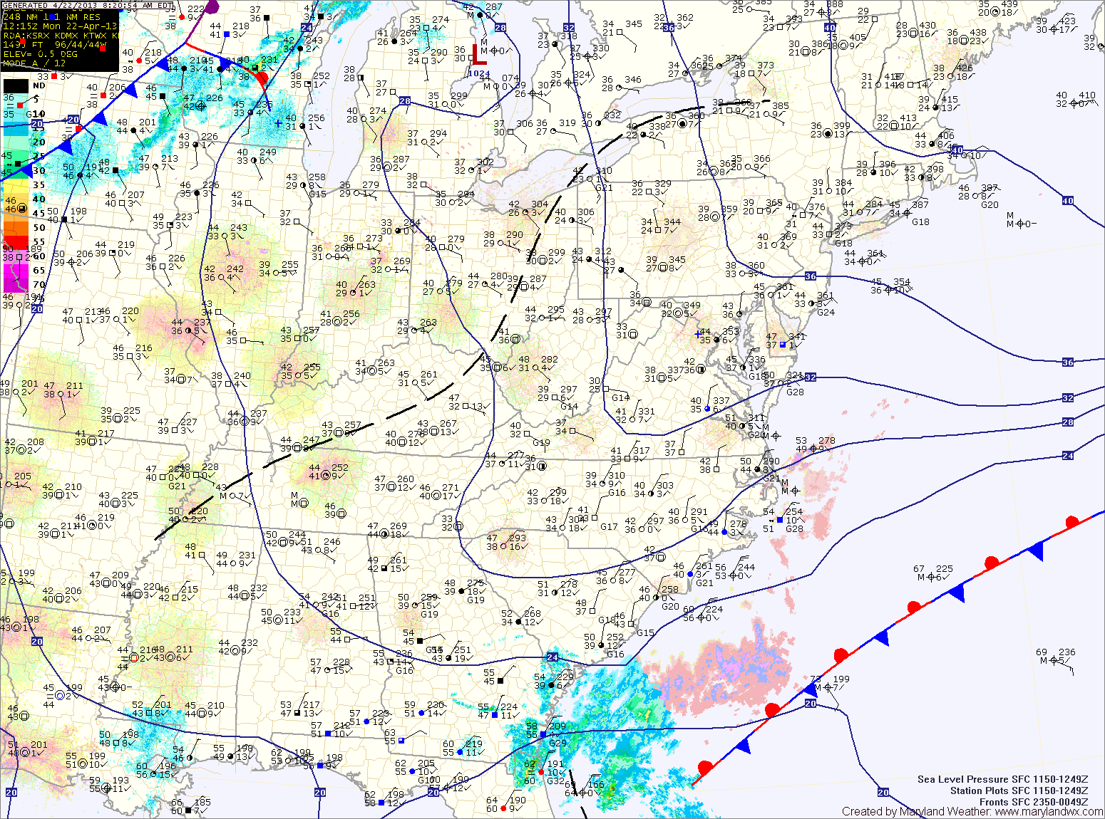
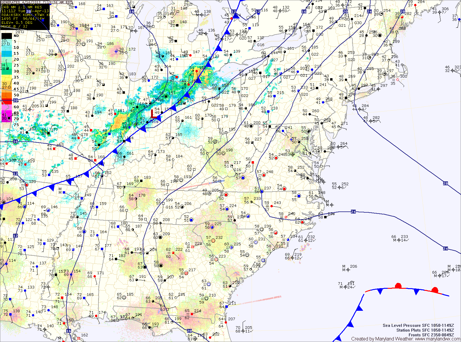
A cold front will drop southward and towards the area tomorrow, keeping clouds in the area. Despite the clouds, temperatures should climb into the low 70s for highs.
Scattered showers are possible tomorrow night as the front pushes into the area. The front is expected to stall out across the state Wednesday and Thursday. North of the front it will be cooler, while south it will be warmer. Highs Wednesday and Thursday will be dependent upon where the front stalls but will generally be in the 60s and 70s.
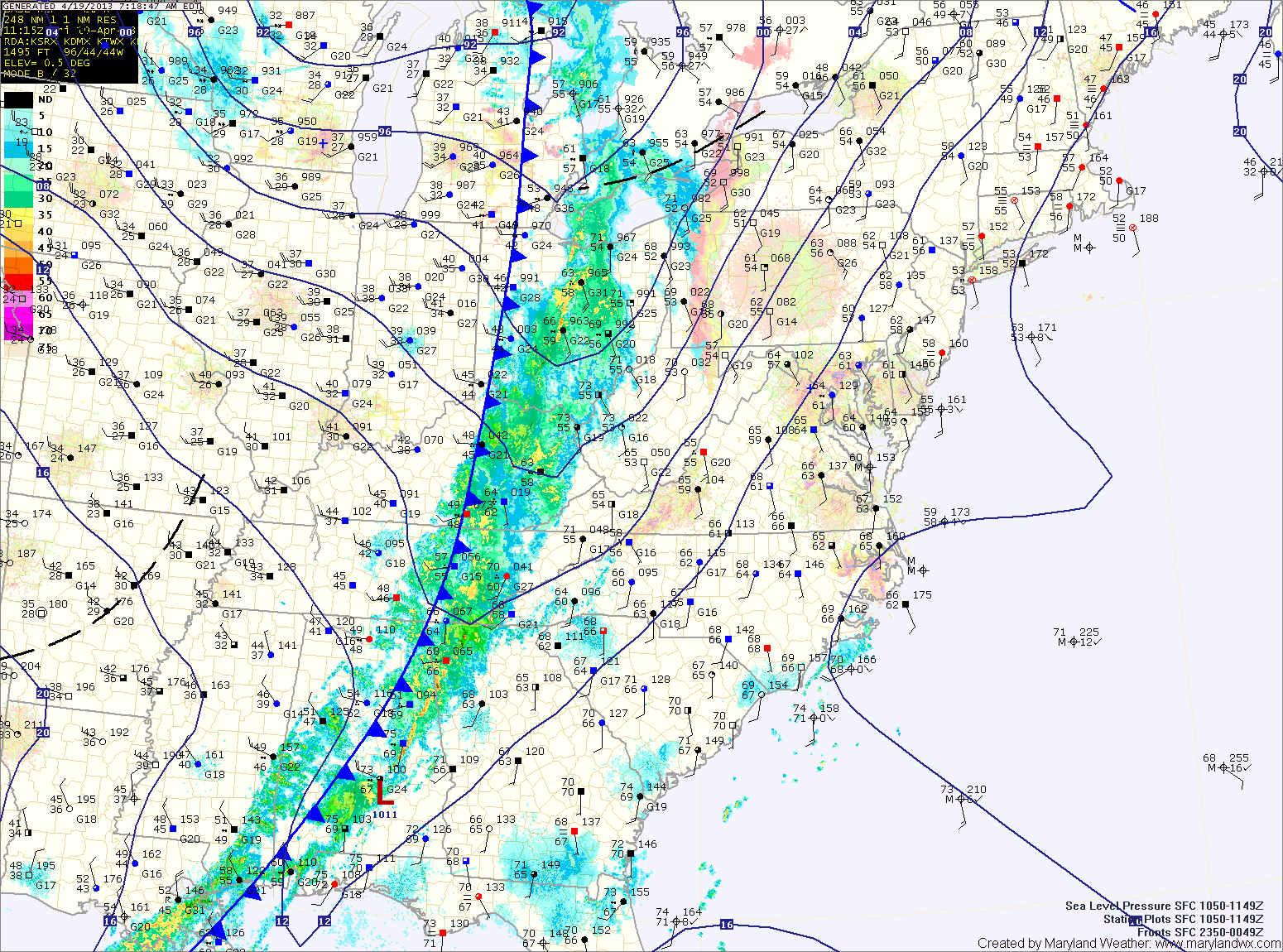
The front will clear the area this afternoon, bringing an end to all rain chances and allowing skies to begin to clear. Highs will be in the low 70s.
High pressure builds in for the weekend. It will be be breezy tomorrow, under mostly sunny skies. Highs will be in the mid 60s.
Sunday will be much like Saturday, with less wind. Expect mostly sunny skies with highs in the low to mid 60s.