Hot and Steamy into the Weekend
Summary: High pressure over the western Atlantic controls the weather into the weekend. A weak cold front will move through on Saturday. High pressure over the western Atlantic ocean…

Everything you need to know about the weather in Maryland
The Maryland Department of the Environment has issued a CODE ORANGE AIR QUALITY ALERT for today.
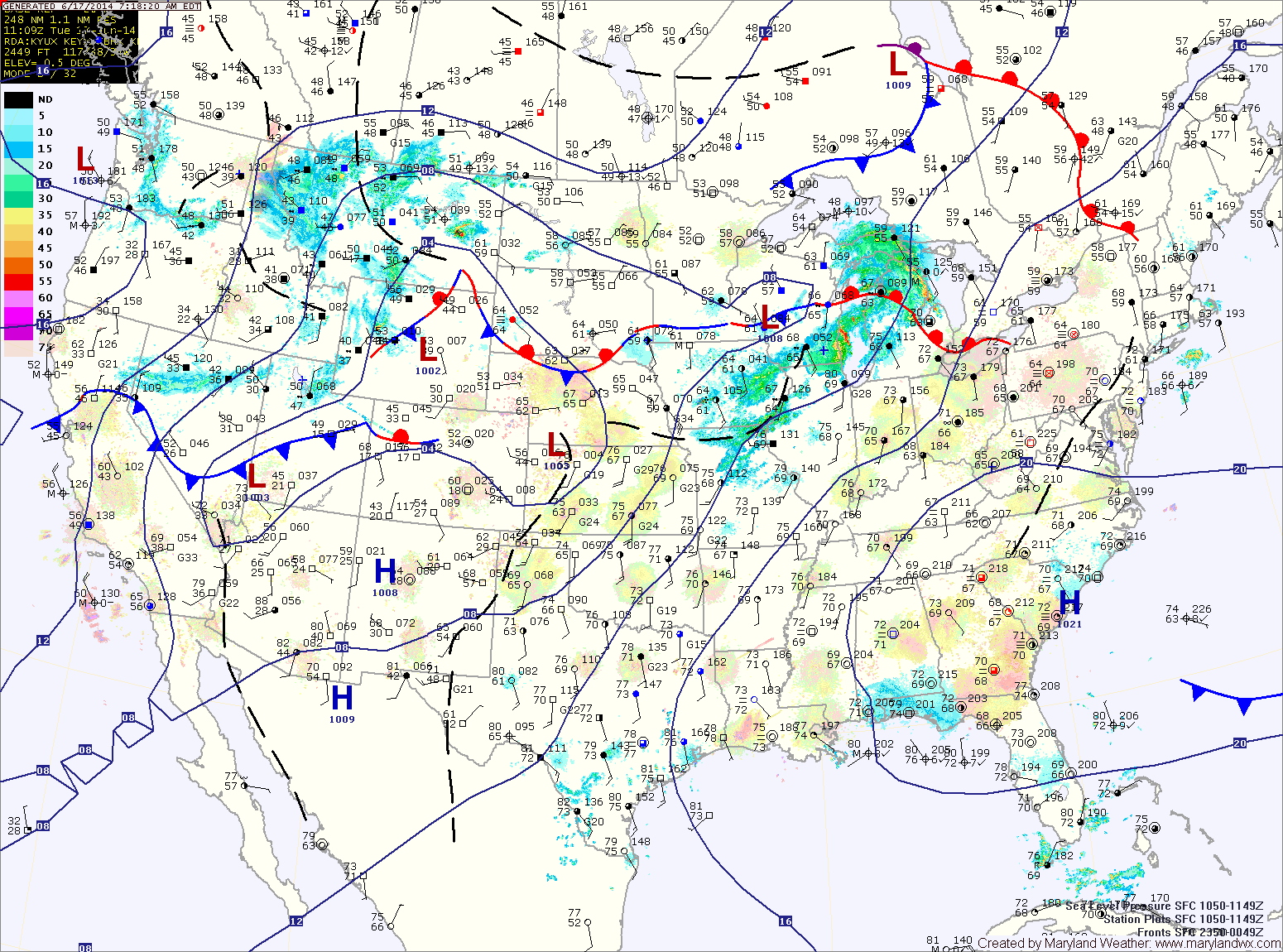
The hot and humid air will support isolated thunderstorm development over the mountains this afternoon. These storms will then move eastward into the I-95 corridor this evening.
Tomorrow will be the warmest day of the year thus far. Highs will be in the mid 90s. Thunderstorms will be possible again tomorrow evening. Some of these storms may produce strong, gusty winds.