Mostly sunny to start the week; Unsettled to end it
High pressure just off of the coast will continue this stretch of mostly sunny skies today. It will also be warmer, with highs in the low 70s. A cold front…

Everything you need to know about the weather in Maryland
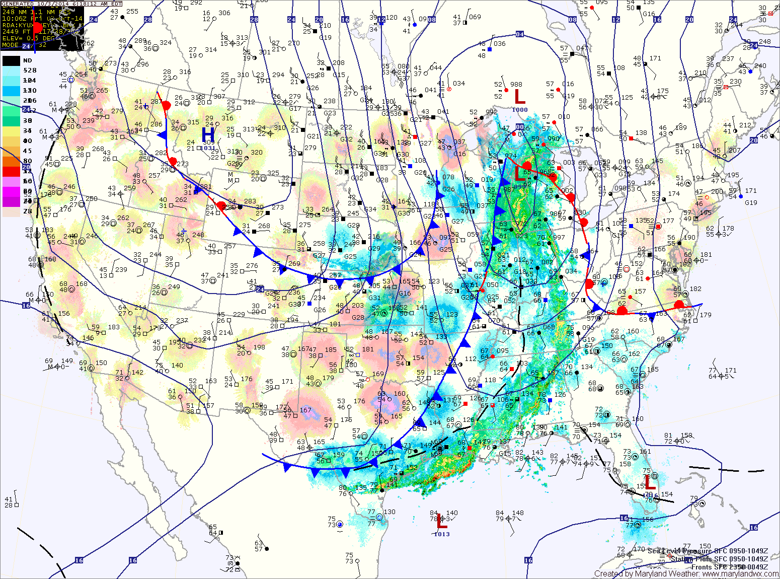
Today, ahead of the front, it will become breezy. Expect more clouds than sun and highs in the low to mid 70s.
Showers will move in from west to east this evening, reaching central Maryland after dark.
The rain will taper off from west to east during the morning hours tomorrow. Skies will partially clear as cooler and drier air move in on gusty northwest winds. Highs will top out in the mid to upper 60s.
Highs today will be in the low 70s under mostly sunny skies.
Tomorrow will be sunny with highs around 70.
Wednesday will be mostly sunny with highs in the low 70s.
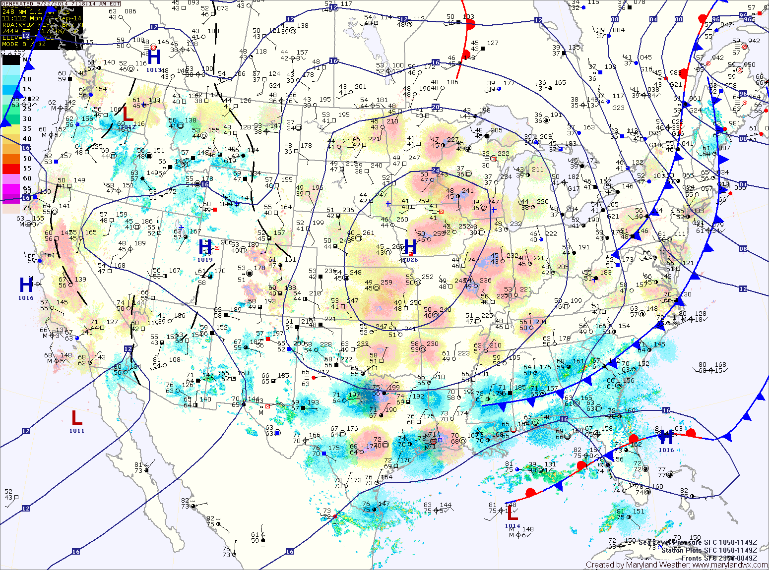
An area of low pressure may form off of the Carolina coastline Thursday into Friday. This low may bring showers to the state during that timeframe.
The low will continue to move northeastward tomorrow, keeping the area under easterly flow and allowing isolated showers to spread into portions of the state. The showers may make it a bit further north and westward as the low moves closer. As a result, isolated showers are possible across most of the state but especially east of the mountains. Highs will be in the upper 70s under cloudy skies.

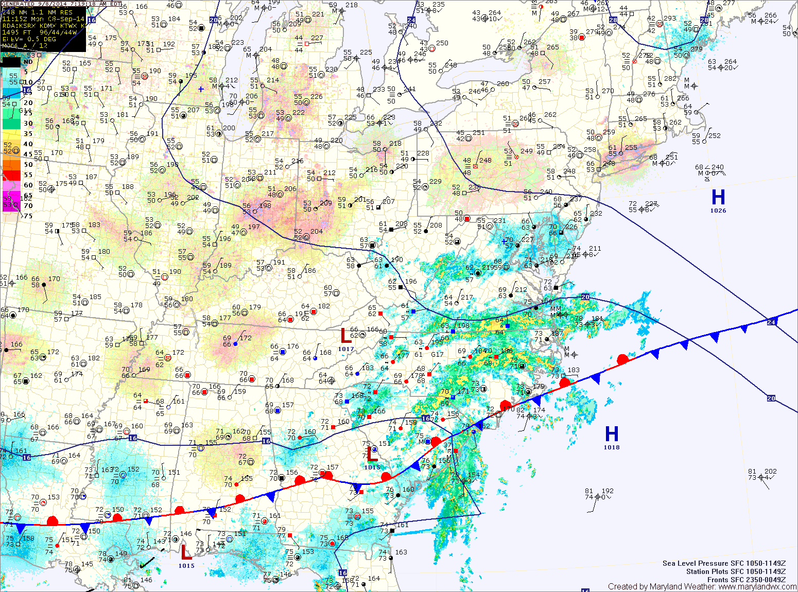
Warm and humid conditions will continue today and will support shower and thunderstorm development this afternoon. Some of the storms could produce locally heavy rainfall. Highs today will be in the upper 80s to around 90.
The storms will decrease in coverage and intensity overnight, but isolated to scattered storms will remain possible.
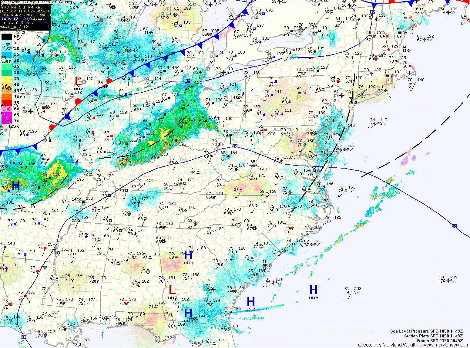
A cold front will approach tomorrow, trigging more showers and storms. The storms will again be capable of producing heavy rainfall. It will continue to be hot and humid, with afternoon highs in the low 90s.
The front will knock temperatures back a bit tomorrow. Highs will reach the mid to upper 80s under mostly sunny skies.
Not much changes as we end the week. Expect more hot and humid weather, with highs Thursday and Friday in the upper 80s to around 90. Isolated afternoon and evening thunderstorms will be possible both days.
The high will move overhead and then slide off of the coast during the day tomorrow. This will allow warmer and more humid air to begin to flow back into the area. Highs will be in the low to mid 80s under mostly sunny skies.
A cold front will move into the area Sunday. The front, combined with warmer and more humid air will touch off isolated thunderstorms during the afternoon. Highs will be in the mid to upper 80s.