Here comes the heat

High pressure continues to work into the area, bringing with it heat and humidity. Highs today will push into the mid to upper 80s under partly sunny skies. There is a slight chance of a shower or thunderstorm in the mountains this afternoon. The threat will shift eastward tonight where an isolated shower is possible.

The heat continues to build tomorrow with highs in the mid 90s. The heat combined with the increase in humidity will push heat index values to near 100 degrees.

Thursday looks to be the hottest day of the week, with highs in the mid to upper 90s in most areas. Lows Thursday night will only fall into the 70s and may not fall past 80 in downtown Washington and Baltimore.

A cold front approaches on Friday, bringing a better chance of showers and thunderstorms. Highs Friday will be in the low 90s.

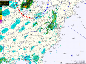
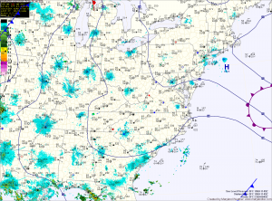
Showers today and tonight then a warm up

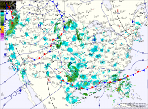
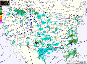
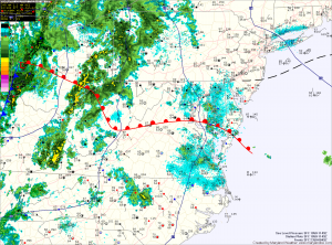
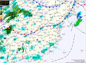
Current Surface Map
An area of disturbed weather is moving through the region today between high pressure over the midwest and another high pressure to the east. Expect showers to move through this morning, followed by scattered showers this afternoon and evening. Highs today will top out in the low to mid 70s.

Another area of showers will move through tonight into tomorrow morning before clearing the area. High pressure will build in from the midwest and slides off the coast, allowing temperatures to soar as we move towards midweek. Highs tomorrow will be in the mid 80s.

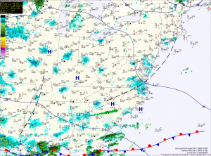
Pleasant weekend followed by a hot week

Current Surface Map
High pressure continues to dominate the weather, providing sunshine and temperatures in the upper 70s to low 80s this weekend.

The center of the high will shift off the coast as we move into the new work week. Clockwise flow around the high will allow southerly flow to bring more heat and humidity into the region while minimizing rain chances.

Highs on Monday will creep up into the mid 80s, pushing to near 90 on Tuesday and into the low to mid 90s by mid to late week.

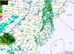
Rainy Tuesday

Current Surface Map
A cold front remains to the west of the area today. Ahead of the front, moisture continues to stream through the state. Expect areas of showers and thunderstorms to continue to push through today and tonight. Rainfall totals of .75 inches with locally heavier amounts will be possible before the rain comes to an end later tonight. Highs today will be in the upper 70s to around 80 degrees.

The cold front will cross the state tonight, bringing an end to the rain from west to east. High pressure will build in tomorrow, clouds will decrease through the day and highs will top out around 80 degrees.

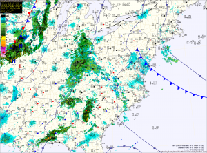
Warm and humid today, rain develops from west to east

Current Surface Map
Another warm day on tap as temperatures climb to around 90 degrees again. Humidity levels will also increase today making it feel even warmer. Meanwhile, an area of low pressure moving up the Appalachians will bring heavy showers and thunderstorms to the area. Rain is expected to develop this afternoon in the western portion of the state, and will overspread the rest of the state tonight.

Showers and thunderstorms will continue tonight and tomorrow. The biggest threat from this system will be the locally heavy rainfall. Overall, the entire state should see totals from .50 to .75 inches with isolated spots seeing totals over 2 inches.

Sunny and warm weekend on tap

Current Surface Map
High pressure has taken control of our weather and will provide mostly sunny skies and high temperatures warming to near 90 by Sunday.

Today will be mostly sunny and breezy, with highs in the mid 80s.

Saturday will be a carbon copy of today, except a few degrees warmer, with highs in the upper 80s.

We look to push towards and will likely top 90 degrees in some areas on Sunday under mostly sunny skies.

Mostly sunny, chance of afternoon showers & storms

Current Surface Map
Today will be the last day that our area is under the influence of the upper level low pressure that has been over the northeast. Temperatures will push into the upper 70s today while scattered showers and thunderstorms develop this afternoon. Just like the past few days, most areas will remain dry but the threat remains.

High pressure takes control of the weather along the east coast tomorrow and through the weekend. The high will provide mostly sunny skies and warmer temperatures. Expect highs in the mid 80s tomorrow, warming to near 90 by Sunday and Monday.

Scattered showers and storms today

Current Surface Map
An upper level low continues to influence our weather today, as it spins over the northeast. Another piece of energy will rotate around the low today, touching off scattered showers and thunderstorms this afternoon. Highs today will push into the mid 70s.

The low begins to move out tonight as high pressure works in tomorrow. Before it does, another day of showers and thunderstorms are expected. Highs tomorrow will push to near 80 degrees.

High pressure takes control for the end of the week and the weekend. Expect dry conditions and building heat through the weekend. Highs Friday will be in the low 80s, warming to near 90 by Sunday.

Severe weather day

Current Surface Map
Today is the first day of Meteorological Summer and to mark the occasion, it looks like we will be dealing with a rather widespread severe weather event.

A warm front is currently working it’s way through the state, allowing moisture and warmer temperatures to stream northward. This feature, combined with a cold front approaching from the west will provide the forcing necessary for shower and thunderstorm development.

At this time, it appears enough instability and lift will be present for some of these storms to become severe and produce damaging winds, large hail, torrential rain and possibly tornadoes.

Nice today, showers and storms tomorrow

Current Surface Map
Today will be mostly sunny and pleasant, with highs in the low 80s and lower humidity.

Unfortunately, the nice weather will be short lived as a strong area of low pressure will approach the state tomorrow.

The system will bring a warm front through the area during the day, followed by a cold front overnight. These features will allow showers and thunderstorms to develop during the afternoon and move through. Some of the storms could become severe with damaging winds, hail and heavy rainfall as the primary threat.