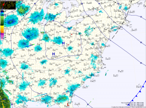
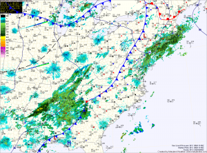
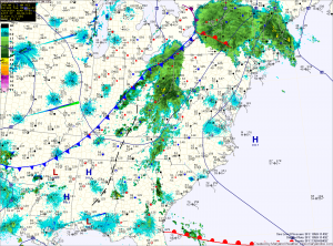
Gradual clearing today, nice tomorrow
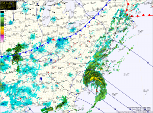
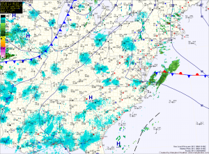
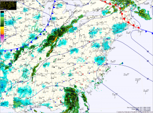
Current Surface Map
Expect gradual clearing today, as the cold front clears the area. Skies should turn partly sunny this afternoon as highs climb into the low to mid 80s.

Tomorrow the state will be between weather systems, as the front and Tropical Storm Beryl move off to the east and another area of low pressure approach from the west. Expect mostly sunny skies and highs around 80 degrees.

A warm front will move through on Friday, followed by a cold front Friday night into Saturday. This will trigger another round of showers and thunderstorms Friday afternoon and Friday night. Just like last night’s storms, locally heavy rainfall can be expected.

Scattered thunderstorms today, cold front tonight

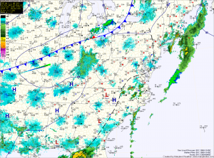
Current Surface Map
The heat and humidity will last one more day, as high pressure is pushed east and a cold front approaches from the west. Ahead of the front, afternoon and evening thunderstorms will develop across the state. The storms will be slow moving and will produce locally heavy rainfall. Highs today will be around 90 degrees.

Shower and thunderstorm chances increase tonight as the cold front crosses the state

Tomorrow will still be warm, with highs in the mid 80s, but humidity levels will decrease, making it feel much more comfortable. A cold front associated with a deep area of low pressure will move through tomorrow night. This will set the stage for a nice Thursday, with highs in the low 80s.

Hot, humid Memorial Day weekend

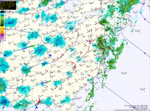
Current Surface Map
The trough of low pressure that has brought unsettled weather to the area all week has pushed off the coast and high pressure has started to build in behind it. The high is situated to the south of the area and as it moves off the coast this weekend, southerly flow will increase, drawing warm humid air into the region for the weekend and into next week.

Today will become mostly sunny, with highs in the low to mid 80s.

Expect more of the same tomorrow with temperatures a bit warmer and a slight chance of thunderstorms in the afternoon. Highs will push into the upper 80s to around 90.

Isolated showers and storms this afternoon

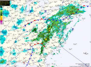
Current Surface Map
A cold front will move through the state tonight bringing with cooler and drier air with it but before it does, we will have one more day of warm and humid conditions.

The moist airmass will also allow another round of showers and thunderstorms to develop this afternoon. Today’s activity will be more isolated and will be more confined to areas along the bay. Some of these storms may become severe, with large hail and damaging wind being the primary threats. Highs today will push into the low to mid 80s.

Morning showers, afternoon storms?

Current Surface Map
As low pressure continues to move through, the atmosphere remains moist and will become unstable this afternoon. As the current round of rain continues to move out, expect a decrease in clouds allowing some peaks of sunshine causing temperatures to warm into the mid 70s.

This will set the stage for another round of scattered showers and thunderstorms this afternoon. Some of the storms may become strong to severe with damaging winds.

The associated cold front will pass through tomorrow afternoon. Ahead of the front, showers and storms will again be possible. Highs tomorrow will be near 80. The front will clear the area during the afternoon, ending the rain chances and ushering in drier air.

Rain through midweek

Current Surface Map

An area of low pressure to the southwest will continue to move slowly towards the area today. Ahead of the storm, southerly flow has brought deep moisture from the Gulf of Mexico northward. The presence of this moisture will combine with the storm to bring showers and thunderstorms to the state.

Expect several rounds of rainfall, heavy at times through tomorrow night. Rainfall totals of 1-3″ will be possible across the state, with the highest totals just west of the metro area.

Sunny today, next rain chance late Sunday

Current Surface Map
High pressure to the west will continue to keep our skies clear today, as temperatures push into the 70s this afternoon. It will still be breezy into the afternoon, with wind gusts to near 20mph expected.

Tomorrow will again be very nice, with plenty of sunshine and highs in the mid to upper 70s.

Thin clouds will increase tomorrow night and into Sunday, ahead of our next rain maker. Most of Sunday looks dry, with a chance of showers and thunderstorms increasing late in the day. Highs will be near 80.

Rain redevelops this afternoon

Current Surface Map
A cold front remains to the west today, while an area of low pressure and associated rainfall is developing along it to the south. This low pressure system and rainfall will continue to move to the northeast along the front and will bring more rainfall later today. Highs will reach into the 70s before the rain moves in.

The rain is expected to be more widespread than yesterday and will be heavier as well. Isolated rainfall totals of up to a half inch are possible before the cold front clears the state late tonight into tomorrow morning.

Cloudy, rain chances increase through the day

Current Surface Map
Rain ahead of a cold front is slowly moving from west to east across the state today. Showers and possibly a rumble of thunder are possible as the rain dissipates as it moves into central Maryland later this afternoon and evening. Highs today will approach the mid 70s as southerly winds increase.

An area of low pressure will develop along the front tonight, moving through the area tomorrow. Rain will once again overspread the state tomorrow, lasting into tomorrow night. Highs are expected to top out in the mid 70s.