Potentially Stormy Afternoon on Tap
Summary: A strong storm system will move up the Ohio Valley today, pushing a warm front into our area this afternoon followed by a cold front tonight. High pressure builds…

Everything you need to know about the weather in Maryland

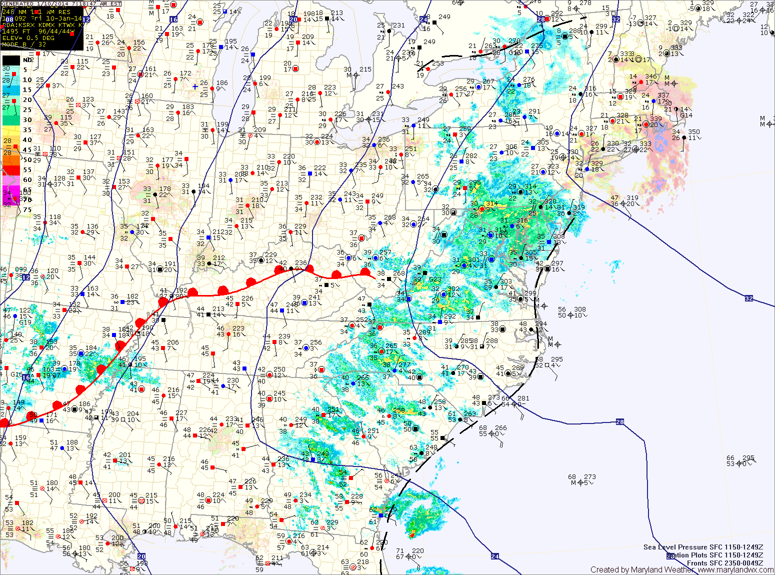
A weak cold front is spreading showers through the state this morning. Some areas, especially north and west of I-95 are below freezing, causing icy spots. Temperatures everywhere will rise above freezing this morning, reaching the upper 40s to around 50. Showers will likely continue off and on into the afternoon before clearing out this evening.
High pressure builds in tonight and slides off the coast tomorrow. As a result, expect partly sunny skies and highs around 50.
A stronger cold front will approach Thursday night, spreading showers into the area by Friday morning. Some of the showers may contain locally gusty winds as well. The showers will continue Friday morning and into the afternoon. The front will likely push through during the afternoon hours, bringing an end to the rain. Highs will be in the upper 50s to around 60.

Along northern and western Maryland, a Winter Storm Warning has been issued. Expect snow to develop this evening, changing to sleet and then freezing rain. The freezing rain will likely last through the morning before temperatures warm above freezing tomorrow afternoon. Several inches of snow and sleet may fall, followed by up to 1/3 inch of ice from freezing rain.
Further south, into central Maryland, a Freezing Rain Advisory has been issued. Expect snow and sleet to develop this evening and change to freezing rain later tonight. Up to 1/10 inch of ice is possible before temperatures rise above freezing tomorrow morning, changing the freezing rain to plain rain.
Southern Maryland and the lower eastern shore will quickly rise above freezing and see mostly rain.
A Freezing Rain Advisory remains in effect for most of the state until 9am for central Maryland, 11am north and west and on the eastern shore.
More substantial rainfall is likely tonight and tomorrow as a cold front approaches from the west. Rainfall totals of near 2″ are possible before it comes to an end tomorrow evening. It will also be much warmer tomorrow with highs around 60 degrees.
Sunday will feature mostly sunny skies and highs around 50.