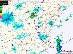
Another tricky temperature day

Also like yesterday, thunderstorms are expected to form over the mountains and move eastward, reaching the metro area by late afternoon. The primary threat from these storms will be strong winds and large hail.

Also like yesterday, thunderstorms are expected to form over the mountains and move eastward, reaching the metro area by late afternoon. The primary threat from these storms will be strong winds and large hail.