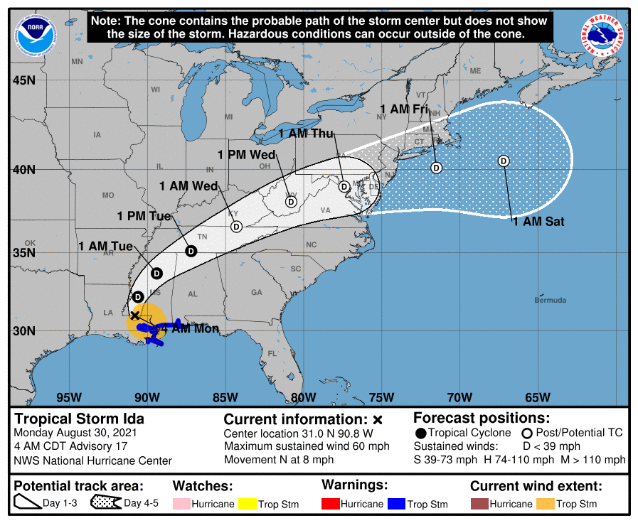
Remnants of Ida to Bring Flooding Rains to Our Area
Hurricane Ida made landfall in Louisiana yesterday as a Category 4 storm and has since moved inland and weakened to a tropical storm. The system will continue to weaken as…

Everything you need to know about the weather in Maryland
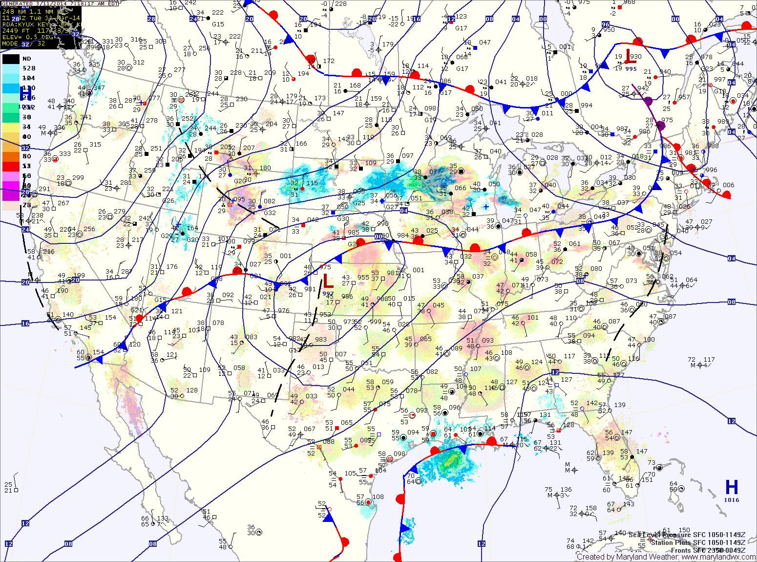
The high will be displaced tomorrow as an area of low pressure and a cold front move toward the area. The system will spread showers into the area tomorrow morning. Additionally, a line of thunderstorms may move through the area tomorrow afternoon. These showers and storms may produce locally gusty winds. Highs will likely reach the upper 60s before the front moves through tomorrow night.
As the front moves through, much colder air will flow into the region as northwest winds increase. Winds will likely gust to near 40mph. Any left over rain showers may turn to snow before ending around midnight.
The warm front should make some more progress northward before the cold front arrives. Expect temperatures to reach the low to mid 50s in central Maryland, mid to upper 40s north and west.
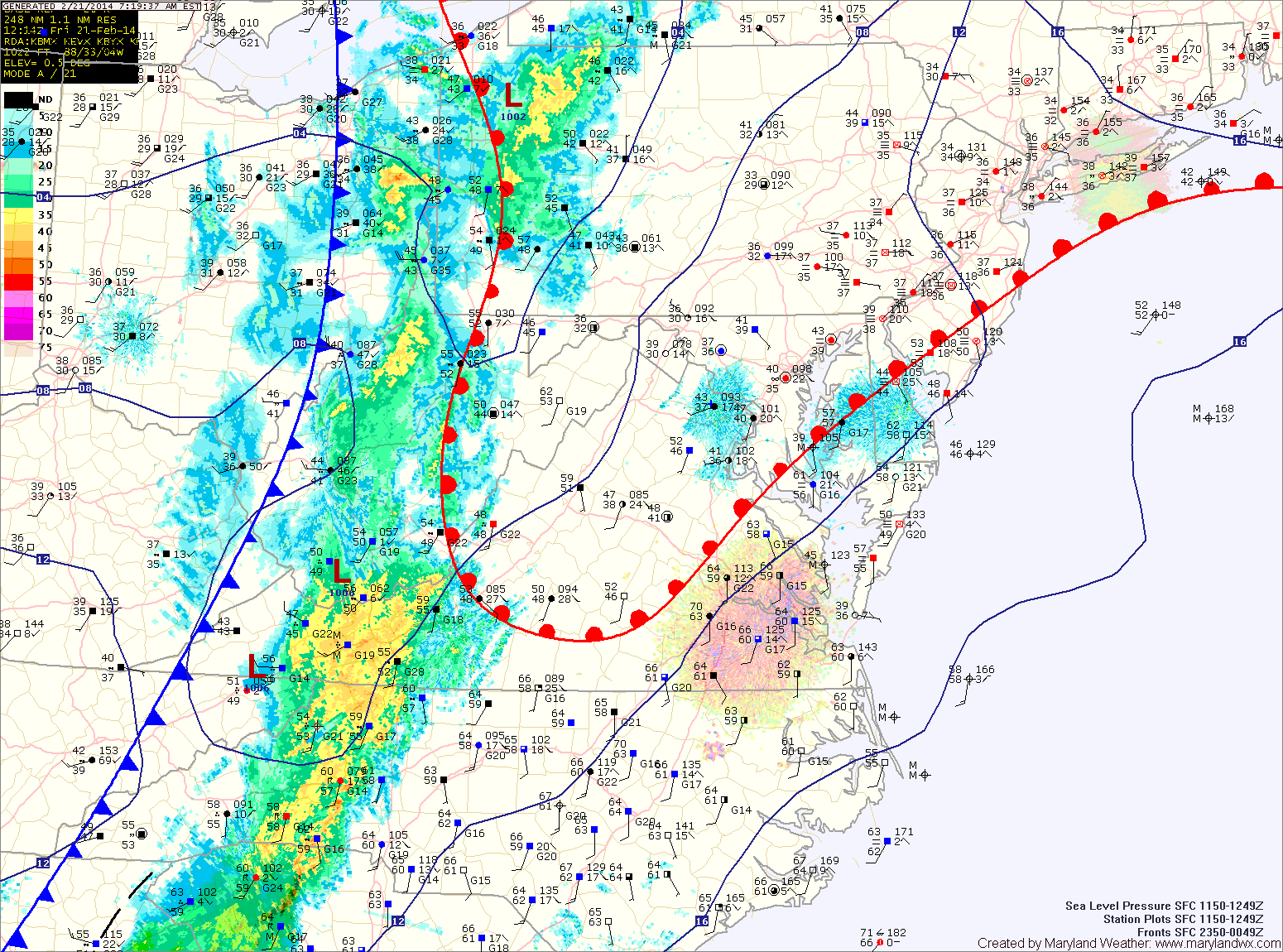
Showers will arrive in the area over the next hour or so. A thunderstorm is also possible this morning as the front moves closer. Expect isolated heavy rainfall and gusty winds in any storms that develop.
The front should cross the entire state by early afternoon, gradually bringing an end to the rain threat.
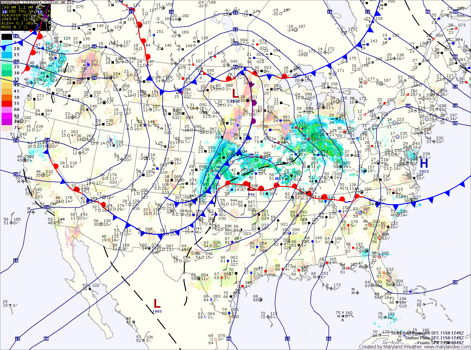
Showers will develop tonight as the front moves closer. The showers will continue tomorrow and a thunderstorm is also possible as the front pushes into the area. Some of the showers and storms could produce locally strong, gusty winds. Highs tomorrow will be in the upper 50s, possibly low 60s depending on the exact timing of the frontal passage. The front should clear the area during the late morning or early afternoon, gradually ending the rain from west to east.
Behind the front, west to southwest flow will keep temperatures up on Saturday. Expect highs to reach the mid to upper 50s under mostly sunny skies.