Hazy, Hot and Humid Today and into the Weekend
High pressure off of the southeast coast is pumping hot and humid air into our region. The high will remain in place into the weekend. A front will move in…

Everything you need to know about the weather in Maryland
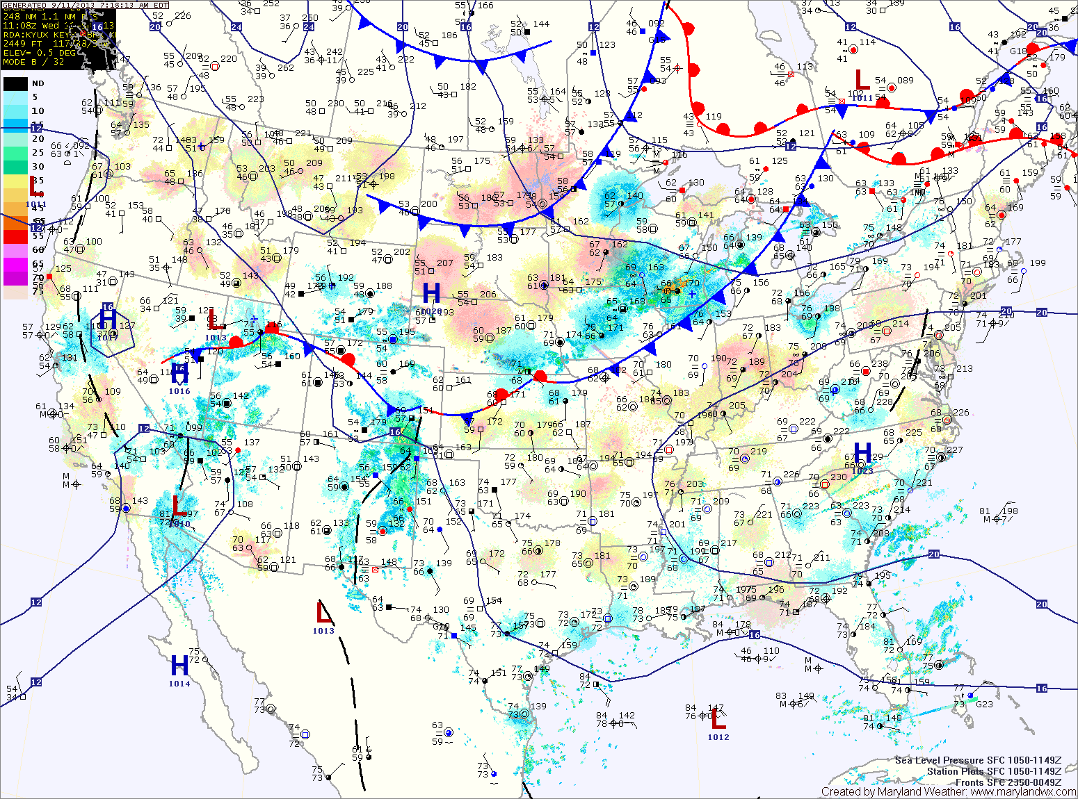
A cold front will approach tomorrow and move through during the late afternoon or evening. Scattered showers and thunderstorms will accompany the front as it moves through. It will continue to be hot, with highs in the low 90s.
Behind the front, Canadian High pressure will begin to move in bringing cooler and drier air. Friday will be partly sunny with highs in the mid 70s.
There will also be scattered thunderstorms this afternoon. The storms will be capable of producing gusty winds, heavy rainfall and large hail.
A cold front will approach tomorrow, but will remain to our north resulting in another hot and humid day with afternoon and evening thunderstorms. Highs will be in the mid 90s. The storms could be strong to severe, with damaging winds, large hail and locally heavy rainfall.
Tomorrow will be a near carbon-copy of today. It will continue to be hot and humid with highs in the mid 90s.
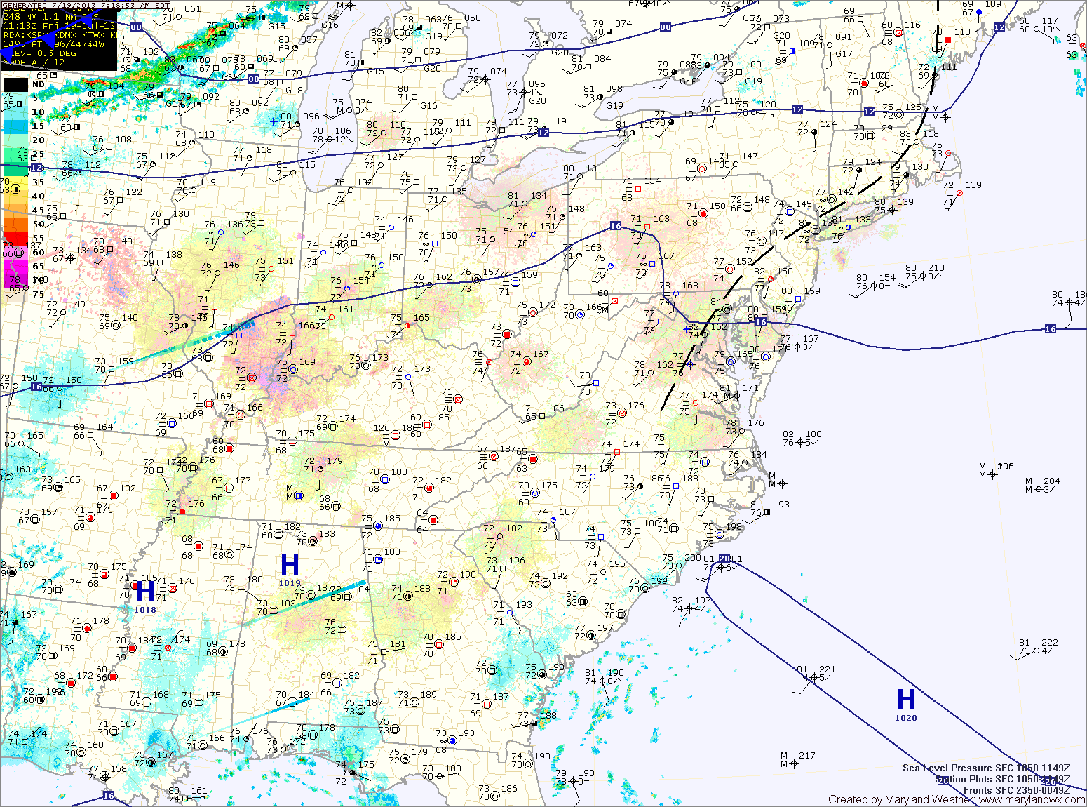
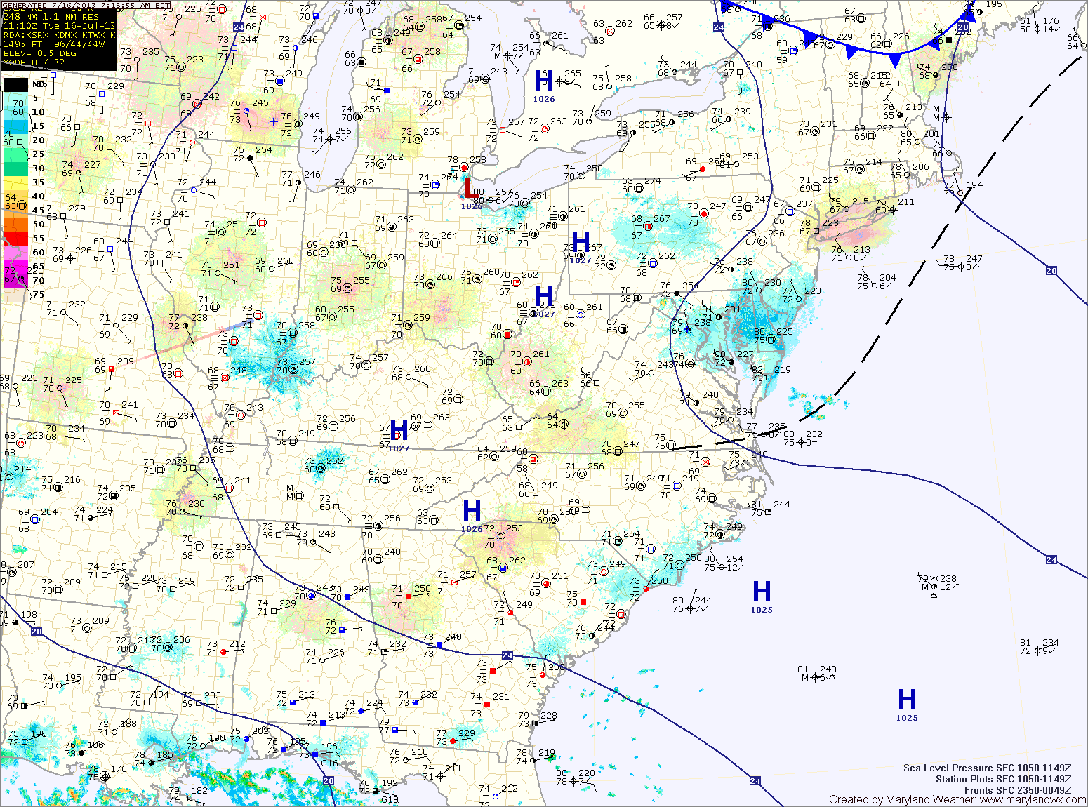
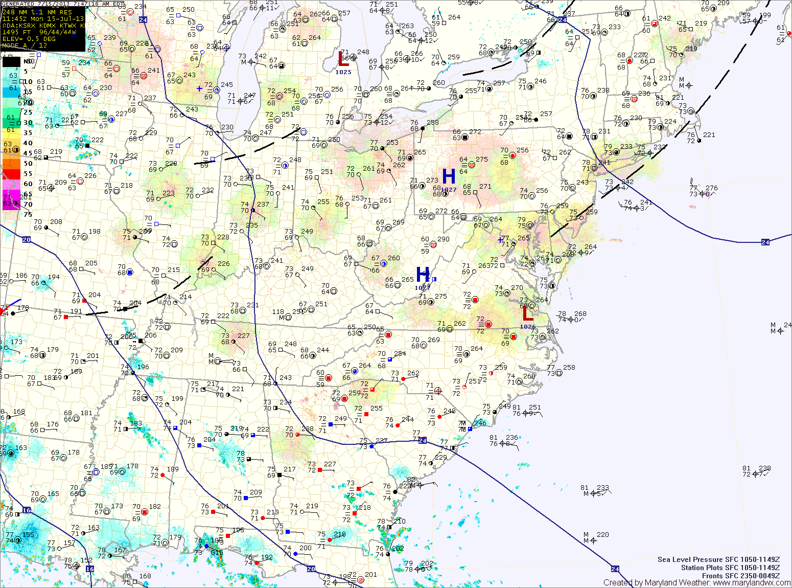
A stray afternoon thunderstorm will be possible each day, mainly across the mountains.
The high pressure center will begin to weaken across the area Thursday and Friday, allowing a better chance of thunderstorms, but this activity will remain isolated at best. Highs both days will remain in the mid 90s.
Today will feature mostly sunny skies with a high around 95. Heat indices will be near 100 this afternoon.
The heat and humidity will continue to build tomorrow through Friday, with highs in the mid to upper 90s and heat index values well into the 100s.

Today will be partly sunny with a slight chance of an isolated shower or thunderstorm this afternoon. Highs will be in the mid 90s.
Expect more sunshine on Tuesday and as a result, warmer temperatures. Highs will be in the upper 90s to near 100.
A cold front will approach on Wednesday, increasing thunderstorm chances during the afternoon and evening as temperatures again push into the mid to upper 90s. Some of the storms may be strong to severe.
…HEAT ADVISORY REMAINS IN EFFECT FROM 11 AM THIS MORNING TO 9 PM EDT THIS EVENING…
…EXCESSIVE HEAT WATCH IN EFFECT FROM SATURDAY MORNING THROUGH SATURDAY EVENING…

An Excessive Heat Watch is in effect for tomorrow. Highs around 100 will combine with the humidity to push the heat index to near 110 degrees. Scattered afternoon showers and thunderstorms are also possible.
…HEAT ADVISORY NOW IN EFFECT FROM NOON TODAY TO 10 PM EDT THURSDAY…

Summer begins at 7:09pm this evening and the weather will be appropriate. High pressure centered over the southeast will pump hot and humid air into the region, sending high temperatures into the mid to upper 90s today. The heat combined with the humidity will push heat index values above 100 degrees this afternoon.
The will not be much relief tonight, as temperatures will only fall to the mid 70s (around 80 in the cities) and heat index values will remain in the 80s to near 90.
Tomorrow is looking like it will be the hottest day, with highs approaching 100 degrees in most areas. Heat index values will again be around 105 degrees.