Mostly Sunny and Warmer
High pressure off the New England coast will keep our skies mostly sunny through the weekend while making the first weekend of summer feel very summer-like. Highs today will be…

Everything you need to know about the weather in Maryland
The high will move off the coast this weekend and southerly flow will develop. The result will be warmer temperatures and higher humidity Saturday and Sunday.
Highs on Saturday will be in the mid 80s and will push to near 90 on Sunday. There is also a slight chance of a pop up shower or thunderstorm on Sunday afternoon.
Today will become mostly sunny with highs around 80 degrees.
As the high continues to build, tomorrow and Friday will continue to be mostly sunny with highs in the low 80s.
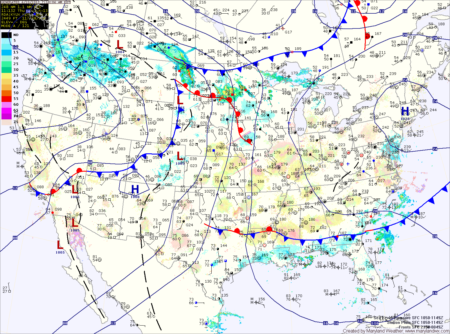
Saturday is the first full day of summer and the heat will begin to build making it feel like summer. High pressure will move off the coast and southerly flow will bring in warmer and more humid air. Highs on Saturday will be in the mid to upper 80s.
Additionally, showers will continue to build into the area by late morning and will persist through the day. A few embedded thunderstorms will also be possible this afternoon.
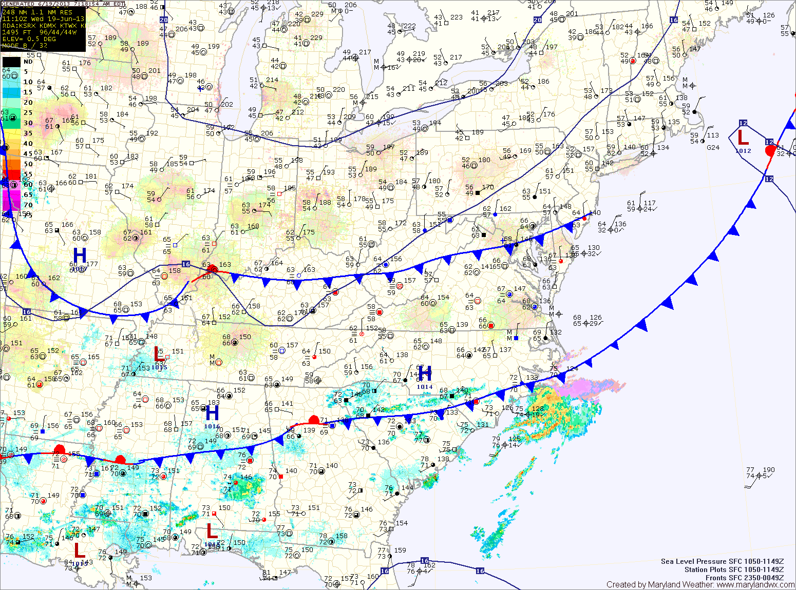
The rain will taper off tonight into tomorrow morning as the low departs the area. Highs tomorrow will be around 80 degrees under clearing skies.
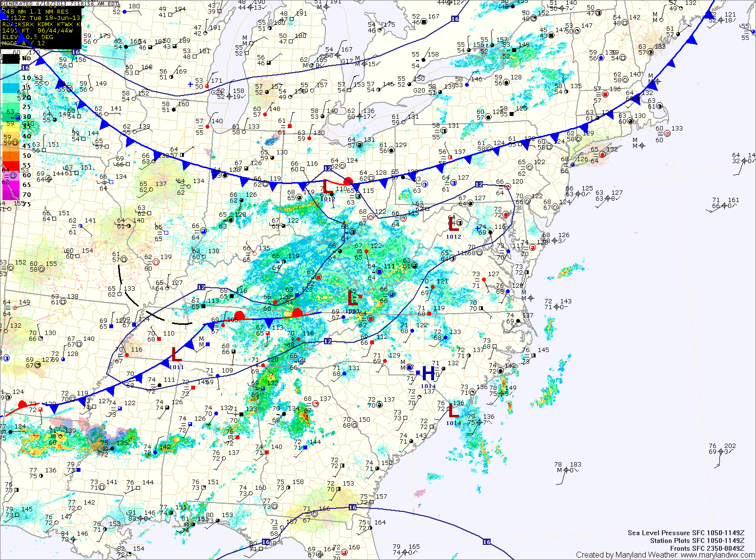
Tomorrow will be similar to today, with another round of afternoon showers and thunderstorms. It will be a little bit warmer than today, with highs around 90 degrees.
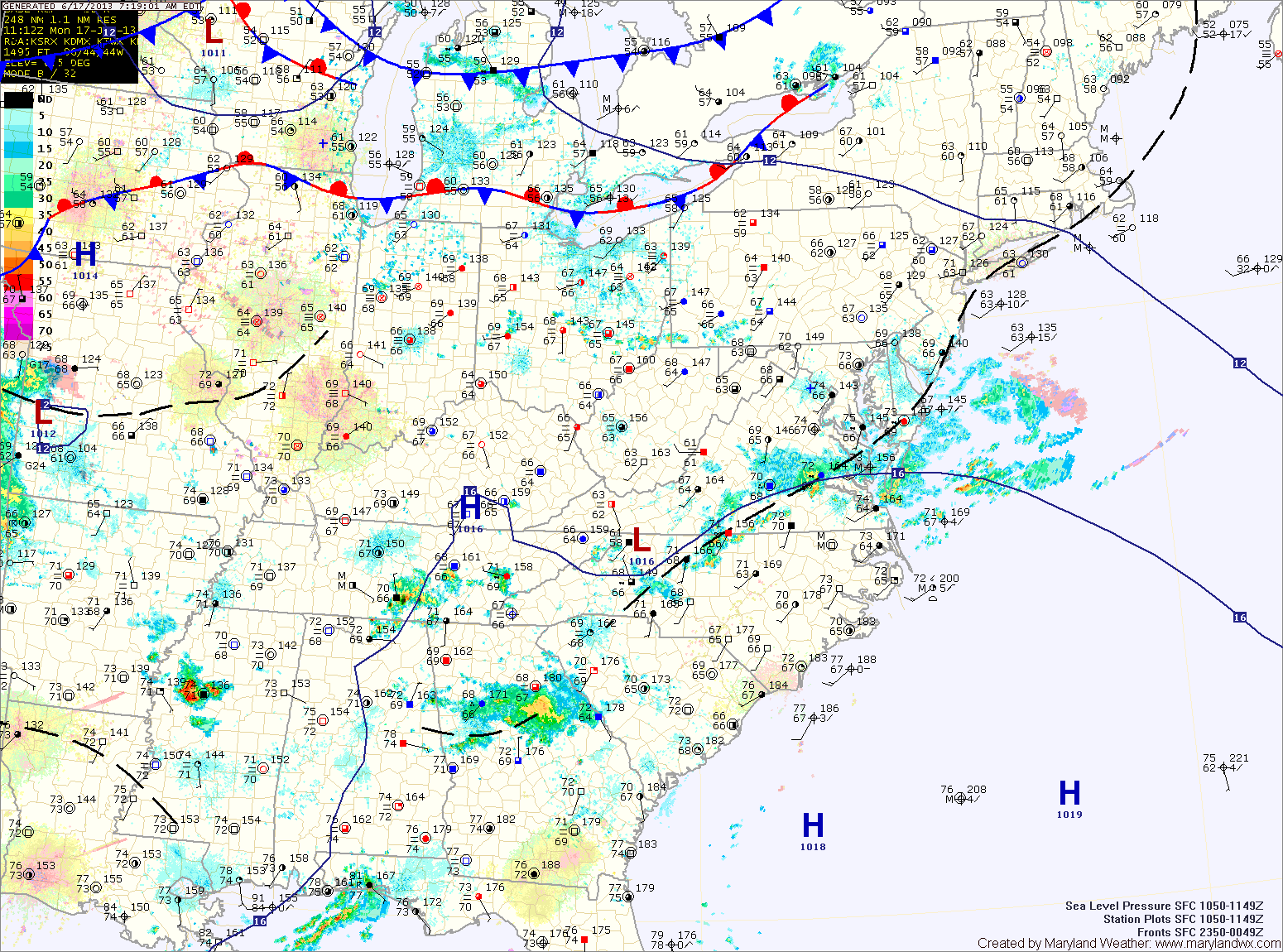
An area of low pressure will move by Tuesday night into Wednesday, keeping a chance of rain in the forecast into Wednesday morning. After that system moves by, high pressure and cooler air will move into to region for the remainder of the week. Highs on Wednesday will be in the low 80s.
There is a slight chance for an isolated shower or thunderstorm this afternoon and evening.
The heat will continue to build tomorrow with highs in the low to mid 90s under mostly sunny skies.
Friday looks to be a carbon copy of tomorrow. Mostly sunny, highs in the low to mid 90s.
Isolated showers and storms are possible through the afternoon. Highs today will be around 80 degrees.
An area of high pressure will be anchored off the coast and will become a “Bermuda High” that typically bring hot and humid conditions to the east coast. Expect mostly sunny skies with an isolated shower or thunderstorm chance tomorrow through Saturday.
It will be hot and humid with highs each day in the low to mid 90s.
…HEAT ADVISORY REMAINS IN EFFECT FROM 11 AM THIS MORNING TO 9 PM EDT THIS EVENING…

The cold front will slowly move southward, continuing rain chances tonight and tomorrow but more importantly it will drop temperatures about 10 degrees. Highs tomorrow will be around 90. Additionally, showers and thunderstorms are likely again tomorrow as the front remains in the area.

Today will be partly sunny with a slight chance of an isolated shower or thunderstorm this afternoon. Highs will be in the mid 90s.
Expect more sunshine on Tuesday and as a result, warmer temperatures. Highs will be in the upper 90s to near 100.
A cold front will approach on Wednesday, increasing thunderstorm chances during the afternoon and evening as temperatures again push into the mid to upper 90s. Some of the storms may be strong to severe.

Today will feature plenty of cloud cover as well as scattered showers, mainly in the mountains. Highs will push into the mid 80s despite the clouds.
A warm front will approach the area tonight, pushing through during the day tomorrow. This front will bring in warmer and more humid air which will support more scattered showers tonight, with thunderstorms possible tomorrow. Highs tomorrow will be in the mid to upper 80s.
Sunday begins another stretch of warm and humid weather with afternoon thunderstorms possible. Highs will push into the low 90s.