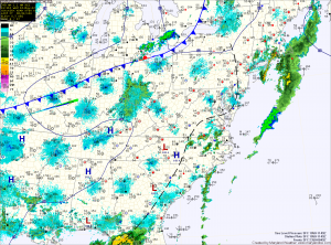
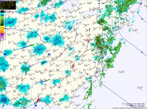
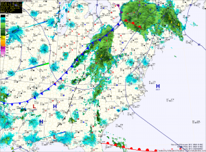
Long promised nice stretch has begun!
Isolated showers and storms this afternoon

The moist airmass will also allow another round of showers and thunderstorms to develop this afternoon. Today’s activity will be more isolated and will be more confined to areas along the bay. Some of these storms may become severe, with large hail and damaging wind being the primary threats. Highs today will push into the low to mid 80s.
Morning showers, afternoon storms?

This will set the stage for another round of scattered showers and thunderstorms this afternoon. Some of the storms may become strong to severe with damaging winds.
The associated cold front will pass through tomorrow afternoon. Ahead of the front, showers and storms will again be possible. Highs tomorrow will be near 80. The front will clear the area during the afternoon, ending the rain chances and ushering in drier air.
Cloudy, rain chances increase through the day

An area of low pressure will develop along the front tonight, moving through the area tomorrow. Rain will once again overspread the state tomorrow, lasting into tomorrow night. Highs are expected to top out in the mid 70s.
