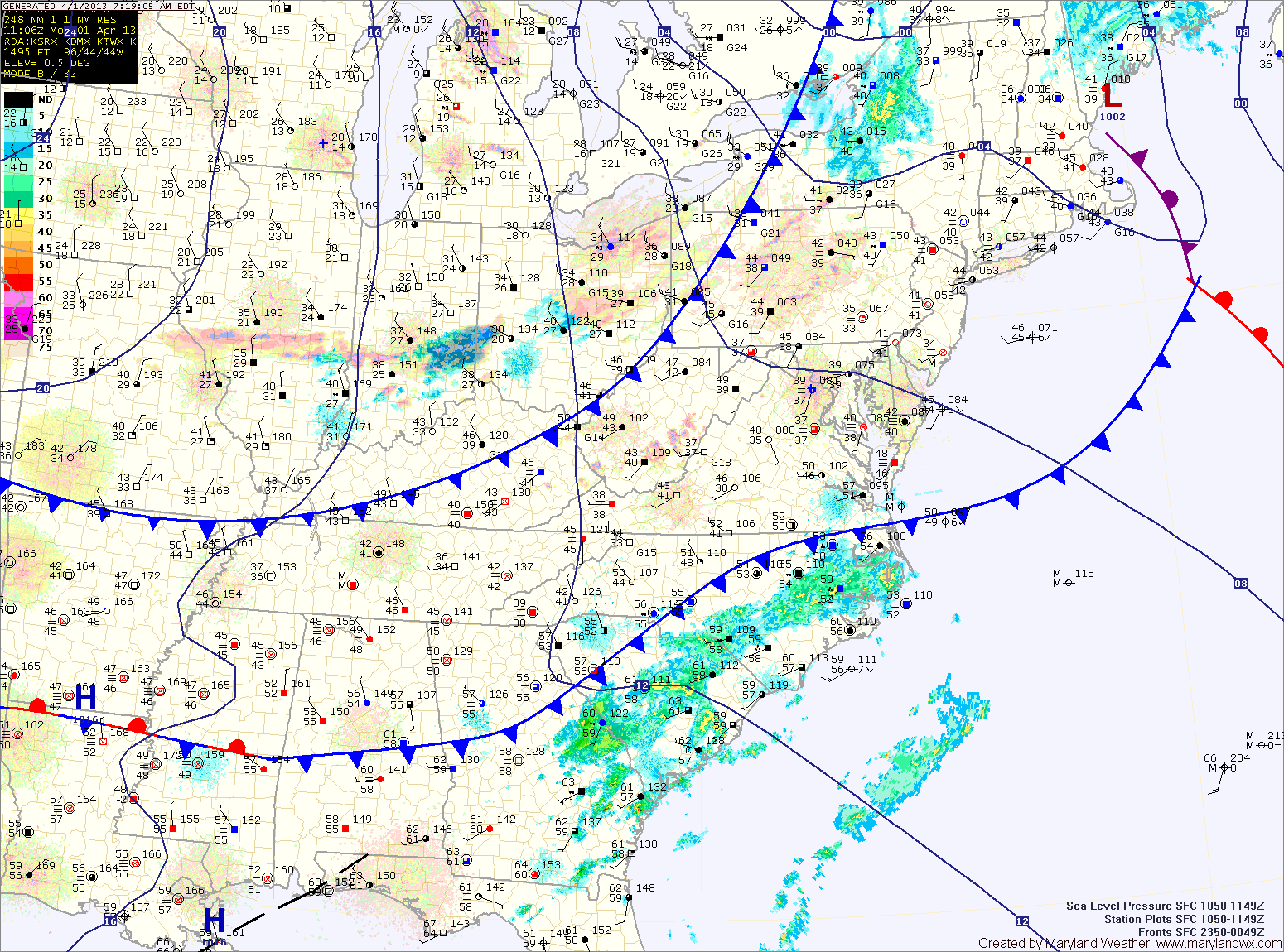
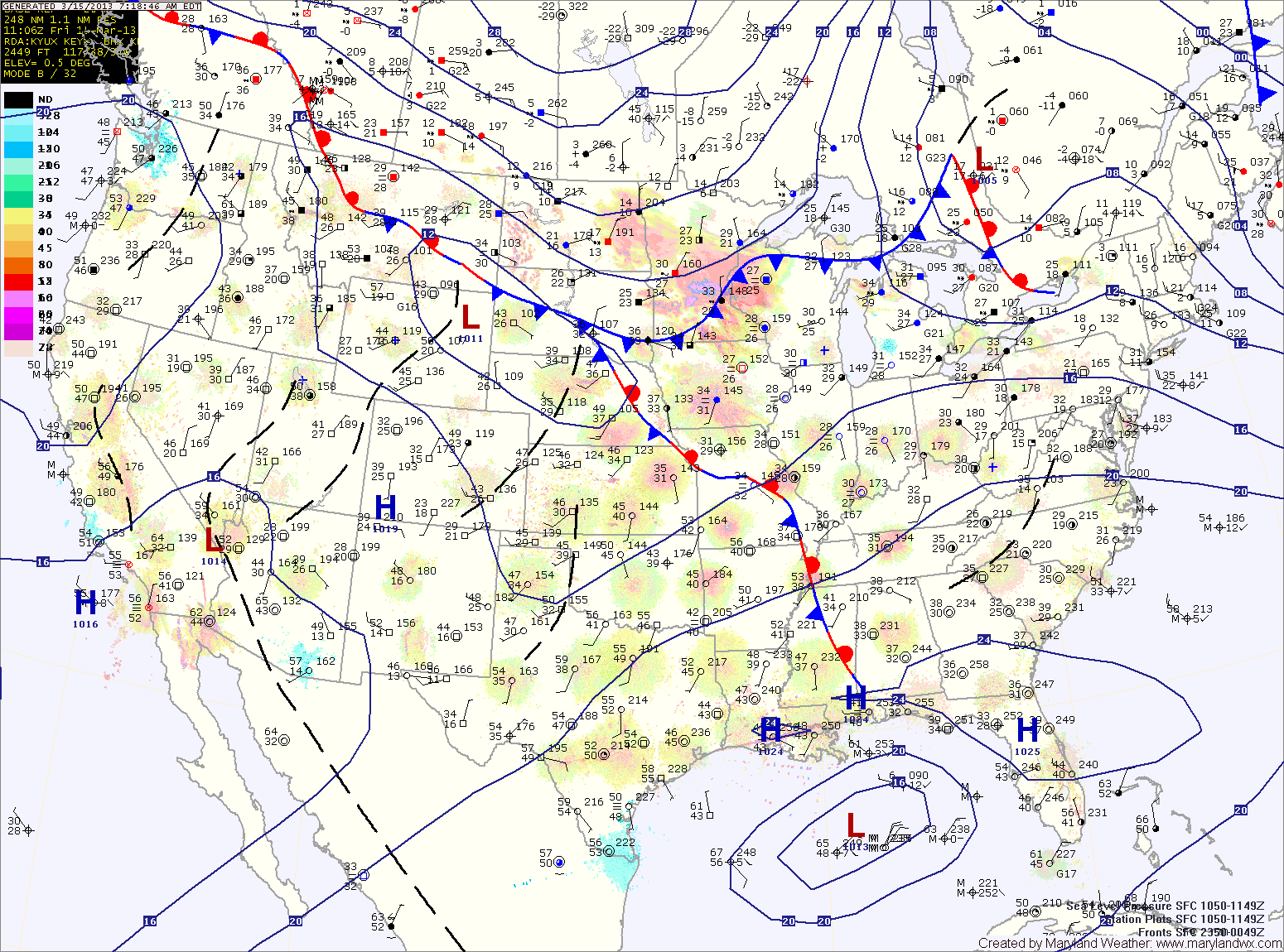
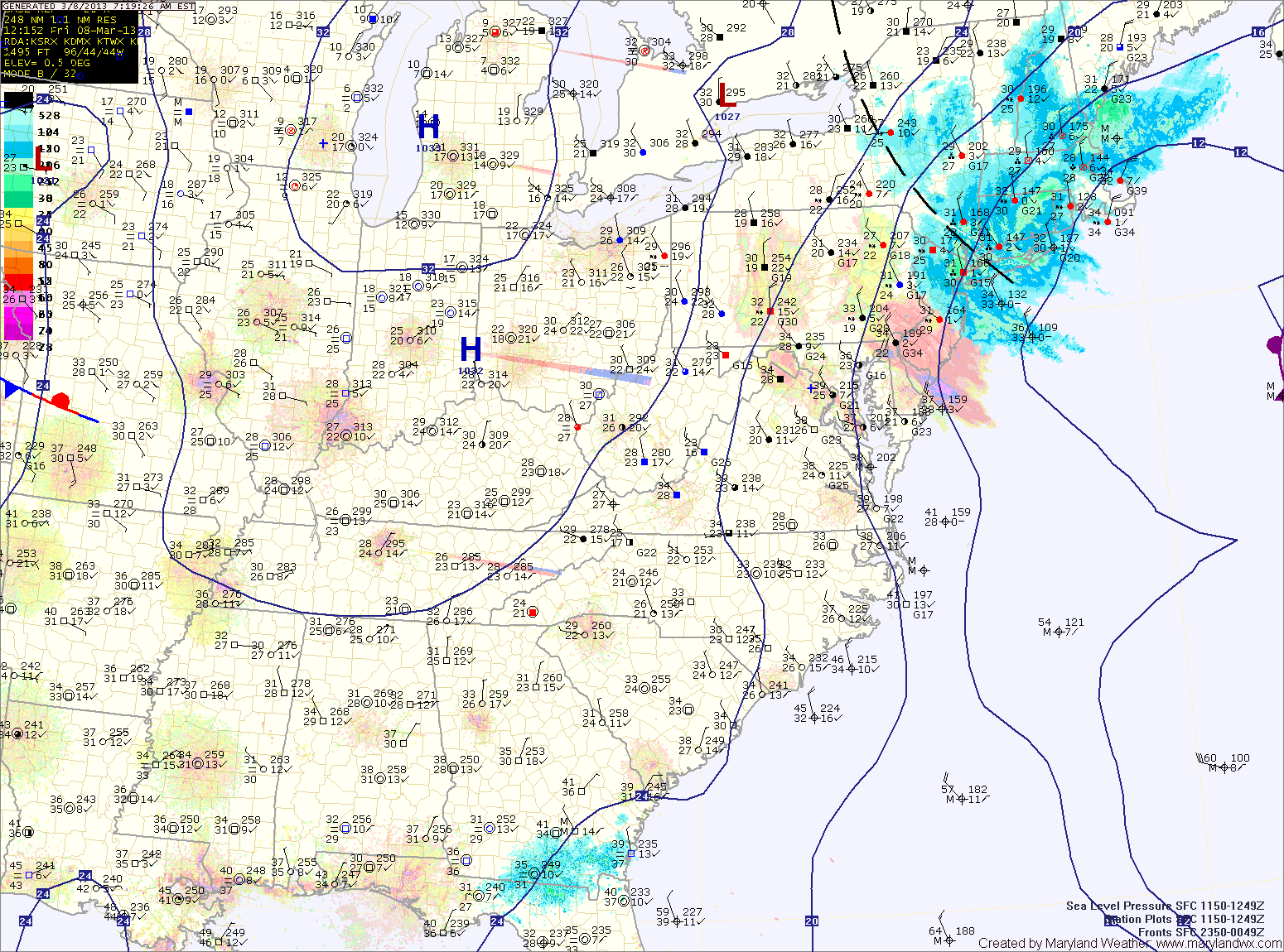
Current Surface MapLow level fog has formed across much of the metro areas this morning. The fog will burn off and scour out as winds begin to increase this morning. A second cold front will push through this afternoon, bringing a slight chance of a shower and gusty winds. Highs today will be in the low 60s.
Behind the front, winds will remain gusty and temperatures will be about 10 degrees cooler. Highs tomorrow will be around 50 degrees under mostly sunny skies.
More of the same on Wednesday as high pressure builds in. Mostly sunny skies, windy and highs in the low to mid 50s.
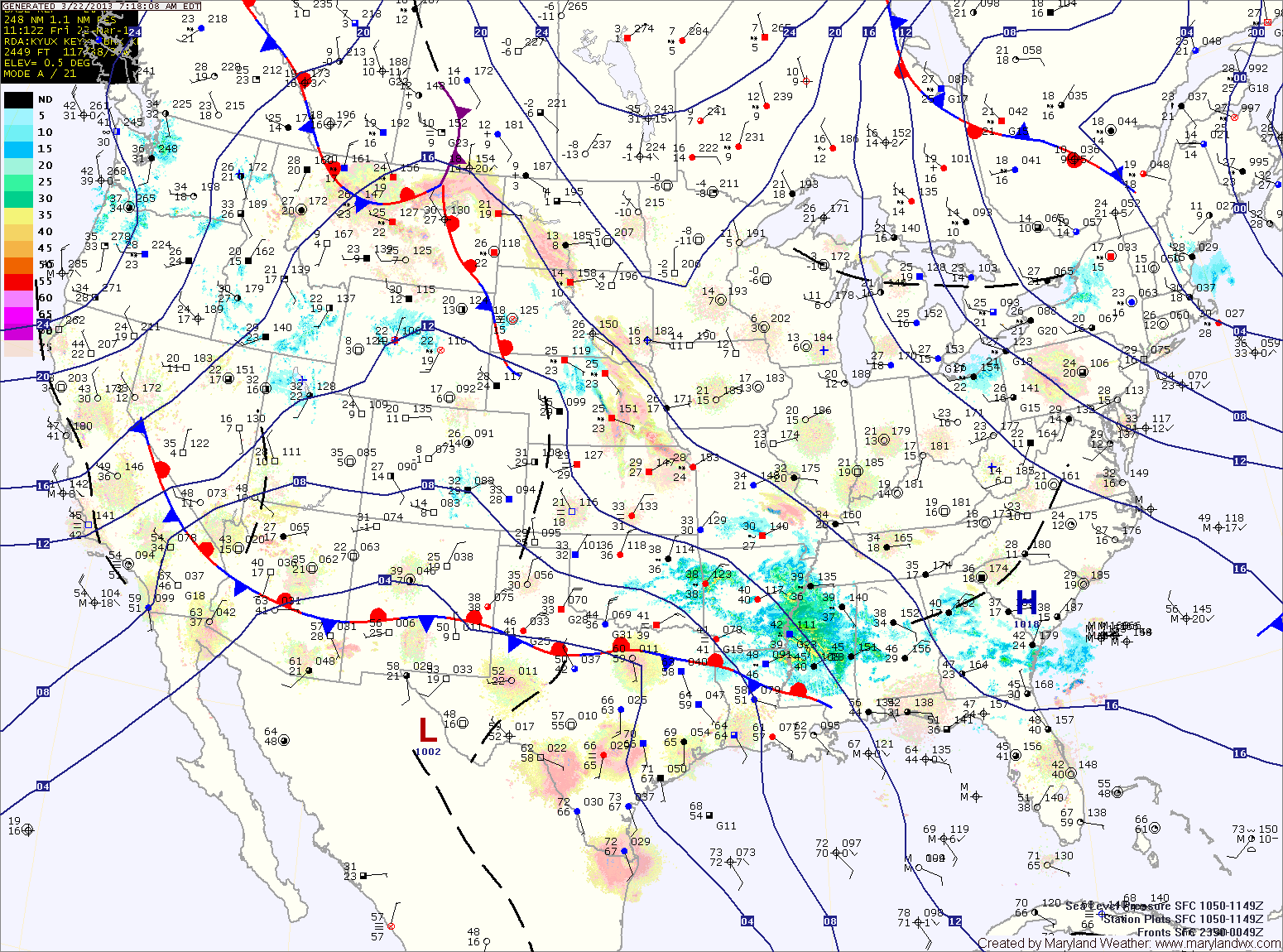
Current Surface MapAs coastal low pressure continues to strengthen off the Virginia coast today as energy from a dying low over Ohio is transfered to it. This will result in snow across the state.
The mountains of western Maryland will likely remain all snow, while areas further east will likely mix with rain this afternoon.
Updated Snowfall Forecast by county:
8-12″ – Garrett
4-8″ – Allegany
2-4″ – Baltimore, Baltimore City, Carroll, Cecil, Frederick, Harford, western Howard, western Montgomery, Washington
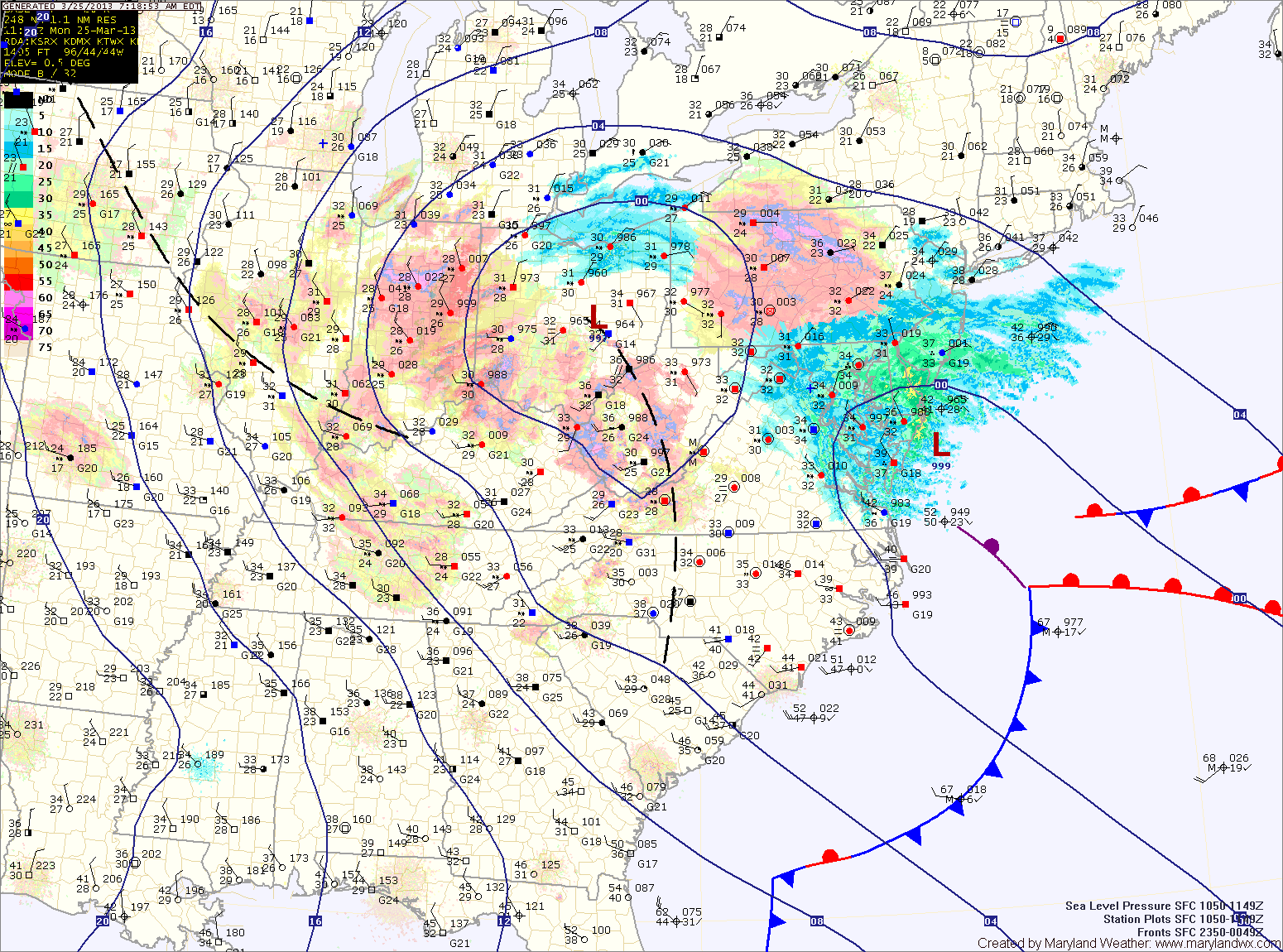
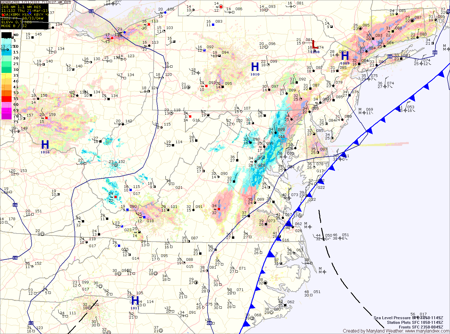
Current Surface MapA potent storm system to our southwest is moving towards the region and will bring wintry weather to the area tonight and tomorrow.
If this were January 24th instead of March 24th, there would be no question that this would be a major winter storm for the entire region. Instead, despite an abundance of cold air aloft, the late March sun will warm the surface and result in a complicated forecast.
The models have come into a general agreement on the storm track and the amount of precipitation that falls and in the far western Maryland mountains where all snow is likely, totals near 12″ are likely. Accumulating snow will begin falling late this afternoon in this area.
Further east, mixing and warmer low level temperatures will complicate the forecast. Current thinking is that light rain or rain/snow mix will begin late this afternoon or evening, turning to all snow tonight.
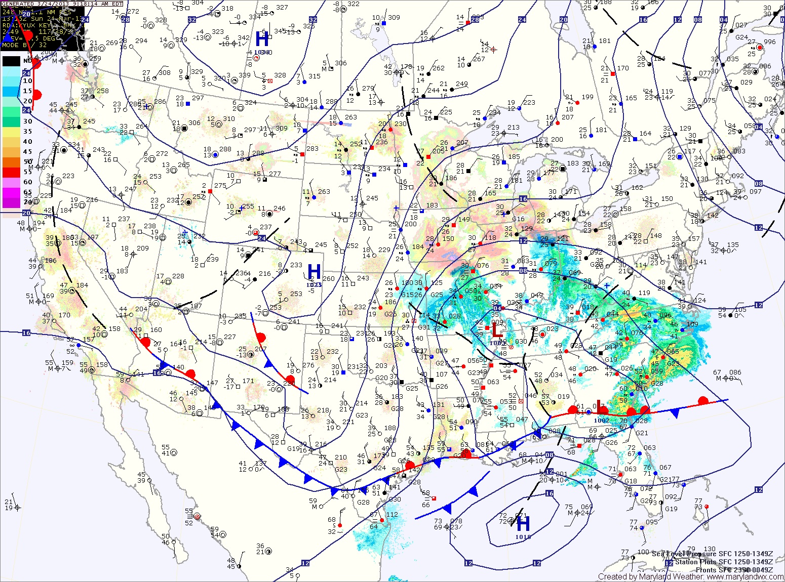
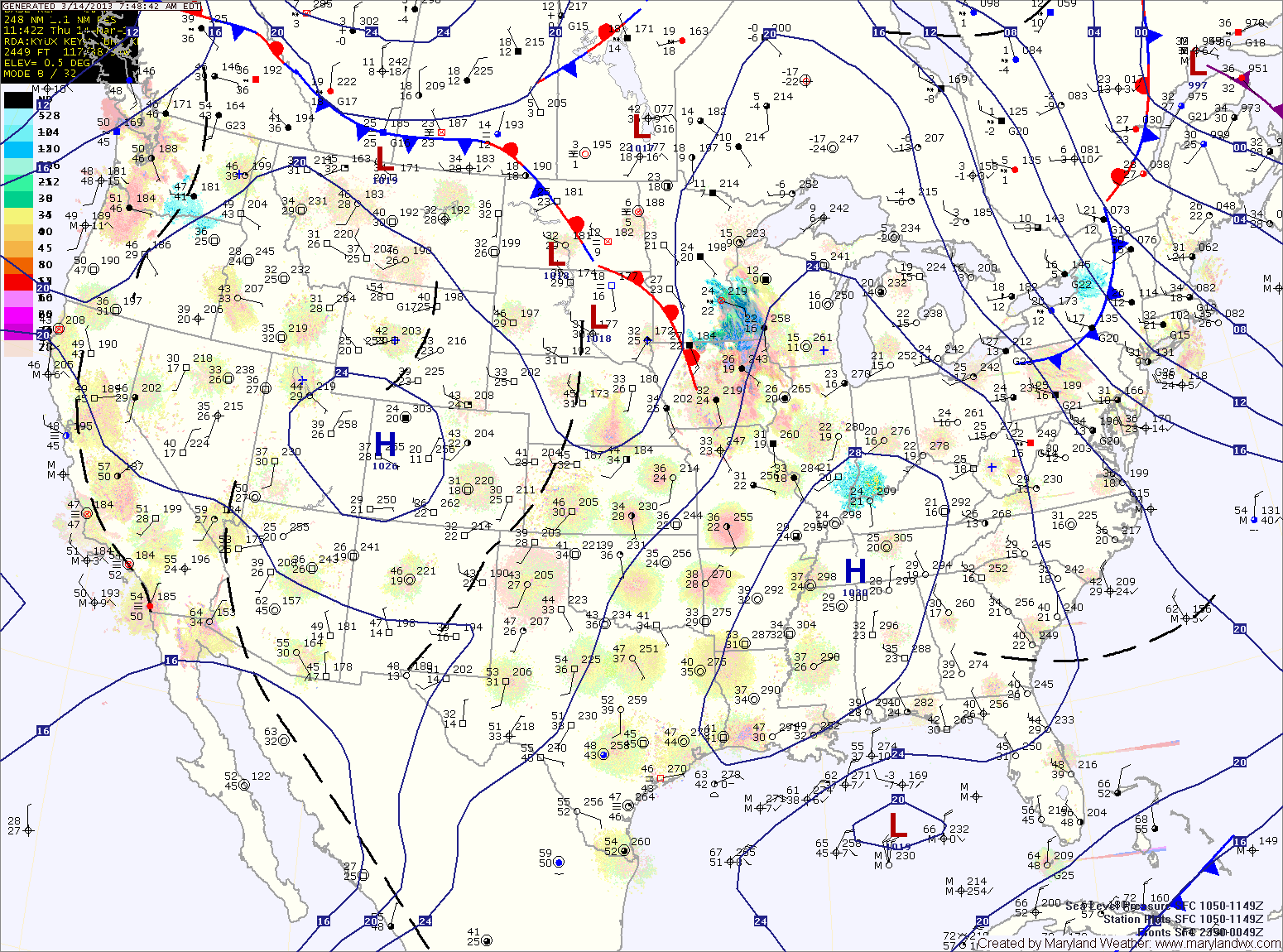
Current Surface MapExpect mostly sunny skies and windy conditions today. Highs will be in the mid 40s.
Tomorrow will be similar to today, although not as windy. Clouds will begin to increase during the late afternoon in advance of a storm system that will begin to affect the area on Sunday. Highs will be in the low 50s.
An area of low pressure is expected to move northward to our west before dying out while another area forms off the coast. The exact placement, strength and timing of this transfer will determine precipitation types across the state.
Current Surface MapScattered flurries are pushing through the area this morning. This activity should end over the next hour or so. Expect breezy conditions through the afternoon under partly sunny skies. Highs today will only reach the upper 30s to around 40.
The end of the week and the first part of the weekend will be mostly sunny and breezy with highs in the mid to upper 40s.
Clouds will increase Saturday night as an area of low pressure approaches from the southwest. Models are coming into agreement that this storm will pass south of our area, keeping us on the cold side.
Current Surface MapLight rain/snow/sleet is moving across the area this morning. The mix will continue into the afternoon before changing to rain in most places.
The exception is far western Maryland, where a Winter Storm Warning is in effect for several inches of snow. Further east, accumulations are not expected. Highs today will top out in the mid to upper 30s.
The cold front will pass through tonight, bringing an end to the precipitation. Tomorrow will feature decreasing clouds and gusty winds. Highs will be in the low 50s.
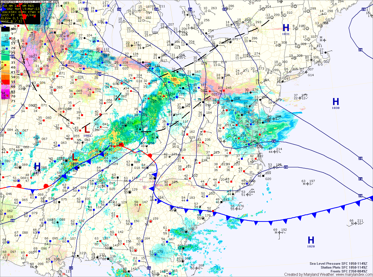
Current Surface MapToday will feature increasing clouds ahead of a weather system that will affect the area tonight into tomorrow. Highs today will be in the mid 50s.
Rain will develop tonight and last through most of tomorrow. The rain may start as snow or sleet across western Maryland with minor accumulation. Highs tomorrow will be in the mid to upper 40s.
A brief break on Sunday morning before the next storm system affects the area Sunday evening through Tuesday. Highs Sunday will be in the low to mid 40s.
Current Surface MapToday will be partly sunny, cool and windy. Wind gusts to around 35mph are possible this afternoon. Highs will be in the low to mid 40s.
Tomorrow will start out mostly sunny with clouds increasing towards evening. It will be about 10 degres warmer today with highs in the mid 50s.
A fast moving area of low pressure and associated cold front will spread rain into the area late Friday night into Saturday morning. The rain will continue Saturday morning before gradually ending during the afternoon. Highs on Saturday will be in the low to mid 50s.
Current Surface MapScattered flurries or snow showers will be possible this morning before skies turn partly sunny by afternoon. Highs will be in the upper 40s.
High pressure moves overhead tomorrow, allowing for sunny skies and high temperatures into the low 50s.
The high slides off the coast on Sunday as another area of low pressure spreads clouds into the area on Sunday.