Low moves into New England, continuing rain chances
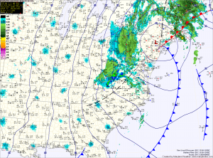
Highs in western Maryland will be in the 30s, further east highs will struggle into the upper 40s.

Highs in western Maryland will be in the 30s, further east highs will struggle into the upper 40s.
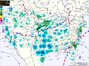
A low pressure system and cold front will approach the area tomorrow, enhancing southerly flow and allowing temperatures to warm into the mid 70s under mostly sunny skies.
Clouds increase Friday night as the front nears, and scattered showers and thunderstorms will affect the state on Saturday. Latest model trends have the front clearing the area Saturday night causing the low pressure system that forms along it to track east of the area, decreasing the threat of heavy rain on Sunday and Monday. If this scenario plays out, there would still be a slight chance of rain, and it would be much lighter.
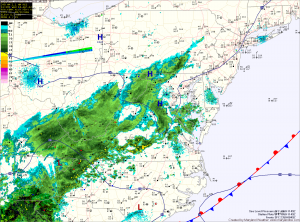
Skies clear tomorrow, as high pressure builds in from the north. Expect temperatures to reach the upper 60s to near 70 under mostly sunny skies.
High pressure moves off the coast on Friday, allowing southerly flow to increase, driving temperatures back up into the mid to upper 70s under sunny skies. Clouds increase Friday night as another, a cold front and larger storm system moves in for the weekend.
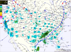
The front will stall just to our south tomorrow, as low pressure forms over the Carolinas. This will bring a chance of showers to the area tomorrow and tomorrow night. With extensive clouds and northeasterly flow, highs tomorrow will struggle into the low 60s.
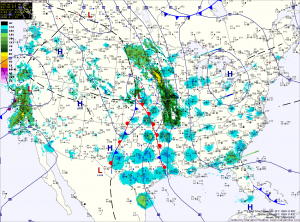
As a strong area of low pressure moves into the center of the country, the southerly flow will increase and temperatures will rise into the mid 80s on Monday and Tuesday.
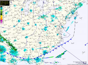
Winds will subside tonight as high pressure builds in, setting the stage for an unseasonably chilly night. A Freeze Watch is in effect for counties northwest of I-95 and Freeze Warnings are in effect for far Western Maryland. Lows will range from the upper 30s across the metro area, to upper 20s in Western Maryland.
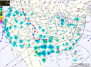
The low begins to move south towards our area tonight, it will help drag cooler air into the area. Lows tonight will drop to near 40 in the cities and to near freezing north and west.
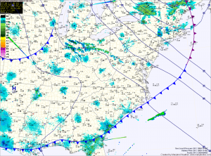
Today will be partly sunny, with highs in the upper 60s. It will be breezy, with wind gusts to near 30mph this afternoon.
A cold front will cross the area late this afternoon, bringing a slight chance of showers through this evening. Behind the front, temperatures will be about 10 degrees cooler tomorrow, under partly sunny skies.
Another disturbance will move through on Wednesday, bringing another chance of showers and more gusty winds. Highs will again top out in the upper 50s.
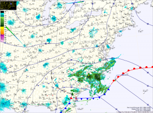
Today will be sunny and breezy at times, with highs in the upper 50s to around 60.
Tonight, temperatures will fall back into the upper 20s across Northern and Western Maryland, lower to mid 30s for Central and Southern Maryland.
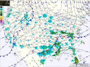
Today will be mostly sunny with highs around 60. Temperatures will drop into the 30s tonight, but a light wind should help keep frost from forming in most areas.
Tomorrow is Opening Day for the Orioles and the weather will cooperate. Expect sunny skies, with highs in the upper 50s to low 60s.