One Storm Leaves, Another Takes Aim
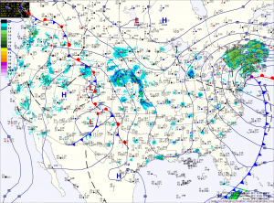
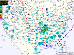
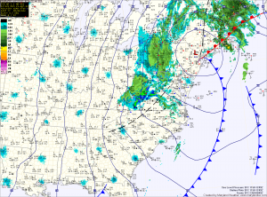
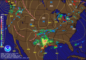
Current Surface Map
Current Surface Map
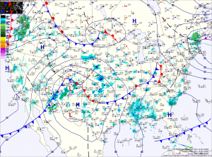
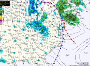
As yesterday’s storm pushes northeastward and away from the area, another is taking shape over the Rockies and will move into the area by Saturday morning.

Behind the storm that brought snow, sleet, freezing rain and a lot of plain rain (storm total of 1.31″ here) to the region, skies will gradually clear as northwest winds gust to near 50mph today. A Wind Advisory is in effect until 6pm.

Winds will decrease tonight as weak high pressure builds in tomorrow, providing a calm and tranquil day. Highs will be in the low to mid 40s.

Precipitation will push into the area early Saturday morning. The models are in agreement that the initial precipitation will fall in the form of snow. The models disagree however, on if it will remain snow and how much will fall.

Windy and Cold Weekend

Current Surface Map
Current Surface Map
Today is the first day of winter and it will certainly feel like it!

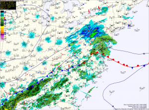
The cold front that brought heavy rain and wind to the area last night has pushed off the coast and colder air is beginning to filter into the region.

Winds will increase through the day today as the storm intensifies to our north. Highs today were reached at 2:40 this morning and will continue to drop through the day, into the 30s this evening.

Winds will gust to around 30mph this afternoon, making it feel even colder. There may be a sprinkle or flurry this afternoon as well.

In far western Maryland, snow will continue to fall and combine with the strong winds to produce blizzard conditions at times through tomorrow.

Sunny Today; Cold Front Passes Tomorrow Night

Current Surface Map
Current Surface Map
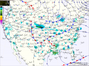
High pressure will control the weather today, providing sunny skies. It will be breezy, with highs in the mid 50s.

A strong storm system that will bring heavy snow to the midwest will begin to spread clouds into our area tonight. The clouds will thicken tomorrow as the storm brings a strong cold front through the region.

Rain will develop out ahead of the front and will spread into the area during the late afternoon. Highs will be in the mid to upper 40s.

The rain will continue tomorrow night and into Friday morning. In the mountains of far Western Maryland, it will be cold enough for snow. Winter Storm Watches have been issued for Garrett and Allegany counties where near blizzard conditions are expected into Saturday.

Light Rain/Snow Through This Afternoon

Current Surface Map
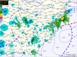
Low pressure currently over North Carolina will continue to move to the northeast, passing by to our south.

Light rain will continue to fall across central and eastern Maryland, while rain mixing with snow at times will fall across northern Maryland. All snow can be expected across far western Maryland.

The precipitation will taper off from west to east this afternoon, ending by this evening as high pressure pushes in from the west.

Mostly Sunny Today; Rain/Snow Tonight into Tomorrow Morning

Current Surface Map
High pressure will slide off the coast today, but not before providing a mostly sunny day today. Highs will push into the upper 40s.

Low pressure currently developing over eastern Texas will move northeast today and will pass by to our south late tonight and tomorrow morning. The storm will be fairly weak and fast moving, which will limit the amount of precipitation that will fall.

Currently it appears that temperatures will be cold enough for rain to change to snow across the northern and western part of the state. In these areas, a slushy inch or two of snowfall is possible.

Wintry Day on Tap

Current Surface Map
The Nor’Easter that was forecast to move up the coast will be close enough to the state to bring wintry precipitation, mainly across central and eastern Maryland.

The storm is currently situated off the Delmarva coast this morning. It will continue to strengthen as it moves north and will also continue to push light wintry precipitation into the state. Winds will increase today and into tomorrow, gusting to around 30mph.

Light precipitation has pushed into central Maryland where a light rain/snow/graupel mix is currently falling. Further south and east, light rain is falling.

The mix across central Maryland will eventually change to all snow later this afternoon and into this evening as colder air flows in from the north and evaporative cooling continues. The heaviest precip will fall late this afternoon and evening and the snow will taper off overnight.

Decreasing Clouds Today; Coastal Storm Midweek

Current Surface Map
High pressure will build into the area today and bring a return to sunshine for this afternoon and tomorrow. Highs both days will be around 50 degrees.

Computer models are in agreement that an area of low pressure currently over Missouri will dive to the Gulf Coast where it will intensify and turn the corner to move up the eastern seaboard.

While they agree on this much, there is slight disagreement in the eventual track and as is always the case with these storms, the exact track will determine our weather and a small change in the track can have drastic effects on the forecast.

Low moves into New England, continuing rain chances

Current Surface Map
The area of low pressure that brought over an inch of much needed rain to the area yesterday will continue moving north into New England and will continue to bring heavy wet snow to the mountains and showers into Central Maryland. Additionally, strong northwest winds will develop on the backside of the storm. The combination of heavy snow and strong winds will cause damage to tree limbs and power lines in Western Maryland.

Highs in western Maryland will be in the 30s, further east highs will struggle into the upper 40s.

Forecast update…snow lovers look away

Current Weather Map
An area of low pressure continues to develop over eastern Texas and is expected to move eastward today before beginning to move to the northeast and off the Carolina coast tomorrow.

After watching the models shift the storm track north yesterday morning, all of the models began shifting the track back to the south through the day, and last night, shifted far enough south to miss the state completely.