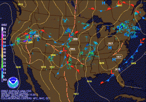
About that possible snow storm…
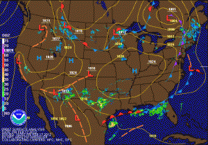
Current Weather Map
Today will be mostly sunny with highs in the low 50s. Expect more of the same tomorrow, with increasing clouds during the afternoon.

Now, on to the big weather story. Overnight, the models that had been showing the storm staying further south have shifted the storm north, while the models that were bringing it further north have shifted to the south. As you know with these systems, the exact track is impossible to determine at this point and any shift at all in the track has a drastic impact on the weather for our area.

Rain today, coastal storm more likely this weekend

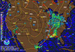
Current Weather Map
Rain will continue to overspread the area from SW to NE this morning and will continue off and on through the day. Highs will be in the low 50s. Expect clearing skies late tonight, as high pressure builds in tomorrow bringing mostly sunny skies into the first half of the weekend. Highs tomorrow and Saturday will be in the low to mid 50s.

Rain likely tomorrow, then all eyes on the weekend

Current Weather Map
Today will feature clearing skies and temperatures in the low to mid 50s. Clouds will increase tonight ahead of a low pressure system that will bring periods of rain to the area tomorrow. Expect around a quarter of an inch of rain total before it ends tomorrow evening.

High pressure builds in for Friday into Saturday bringing mostly sunny skies and highs around 50. The high will gradually move off the coast ahead of the next possible storm system that could affect the area on Sunday.

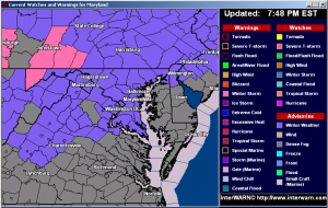
Winter Weather Advisory in effect

The entire state west of the Bay is under a Winter Weather Advisory for snow, sleet and freezing rain.

Garrett County is expected to see more accumulation of snow and ice, and is under a Winter Storm Warning.

Expect snow and sleet to develop after 10pm in most areas, changing to all sleet overnight.

The dreaded “Wintry Mix”

Today will see increasing clouds as another cold front moves through the region tonight. The front will have a little moisture with it, and will produce scattered flurries overnight as it crosses the state.

The main weather story is the storm system that will begin to affect the area tomorrow night.

Blustery today

Gusty northwest winds will continue to bring in colder air today. Expect highs to top out in the upper 30s to near 40 with wind gusts to around 30 mph.…

Light snow after all!

As I am sure you have noticed, it is snowing, not raining today! Enough cold air has worked in to keep the precipitation as snow, with some sleet mixing in…