Scattered Showers and Storms Likely into the Weekend
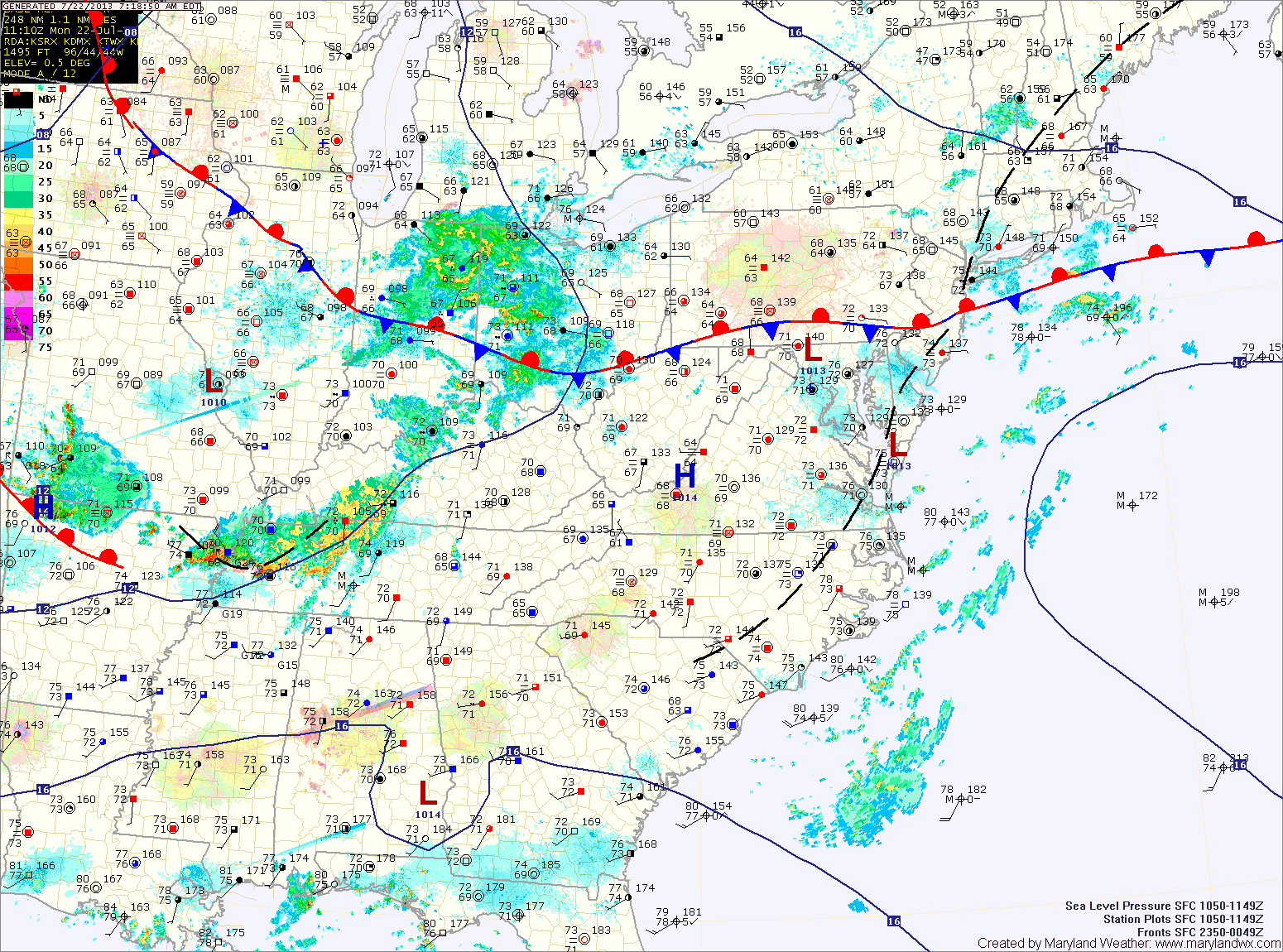
A stationary front will remain to our south today through the weekend. Several waves of low pressure will move along the front, bringing rain chances through the period. TODAY: A…

Everything you need to know about the weather in Maryland
Several areas of low pressure will push through the region along the front bringing unsettled weather for much of the week.
Today will be mostly cloudy with highs in the mid 80s. Scattered showers and thunderstorms are likely this afternoon and evening. These storms could produce locally heavy rainfall.
Thunderstorm chances decrease slightly tomorrow, but isolated to scattered storms will still be possible. Highs will be in the mid to upper 80s.
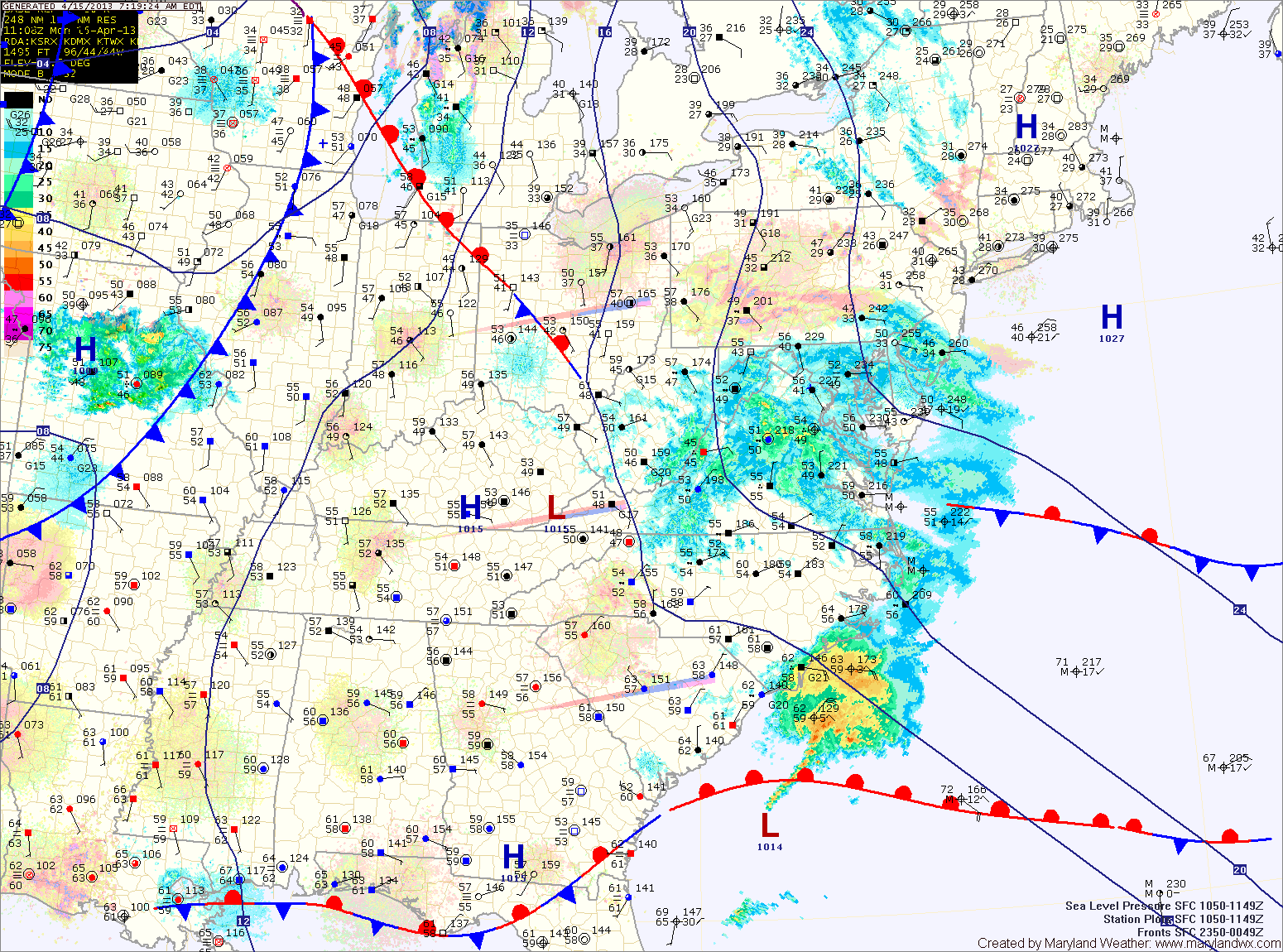
A cold front will drop southward and towards the area tomorrow, keeping clouds in the area. Despite the clouds, temperatures should climb into the low 70s for highs.
Scattered showers are possible tomorrow night as the front pushes into the area. The front is expected to stall out across the state Wednesday and Thursday. North of the front it will be cooler, while south it will be warmer. Highs Wednesday and Thursday will be dependent upon where the front stalls but will generally be in the 60s and 70s.