Weekend Outlook: Mostly sunny with near normal temps
High pressure will build into the region this weekend, leading to mostly sunny skies. Today will continue to be breezy, with a mix of clouds and sun and highs in…

Everything you need to know about the weather in Maryland
Highs today will be in the low 70s under mostly sunny skies.
Tomorrow will be sunny with highs around 70.
Wednesday will be mostly sunny with highs in the low 70s.
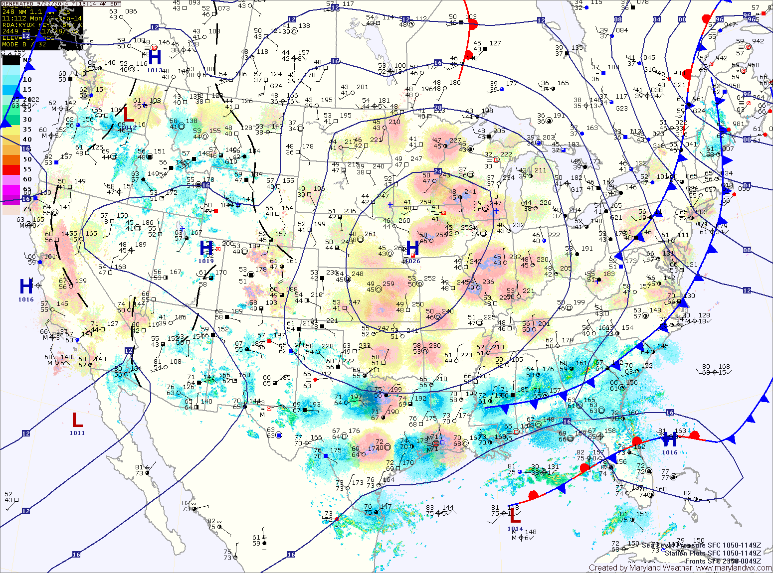
An area of low pressure may form off of the Carolina coastline Thursday into Friday. This low may bring showers to the state during that timeframe.
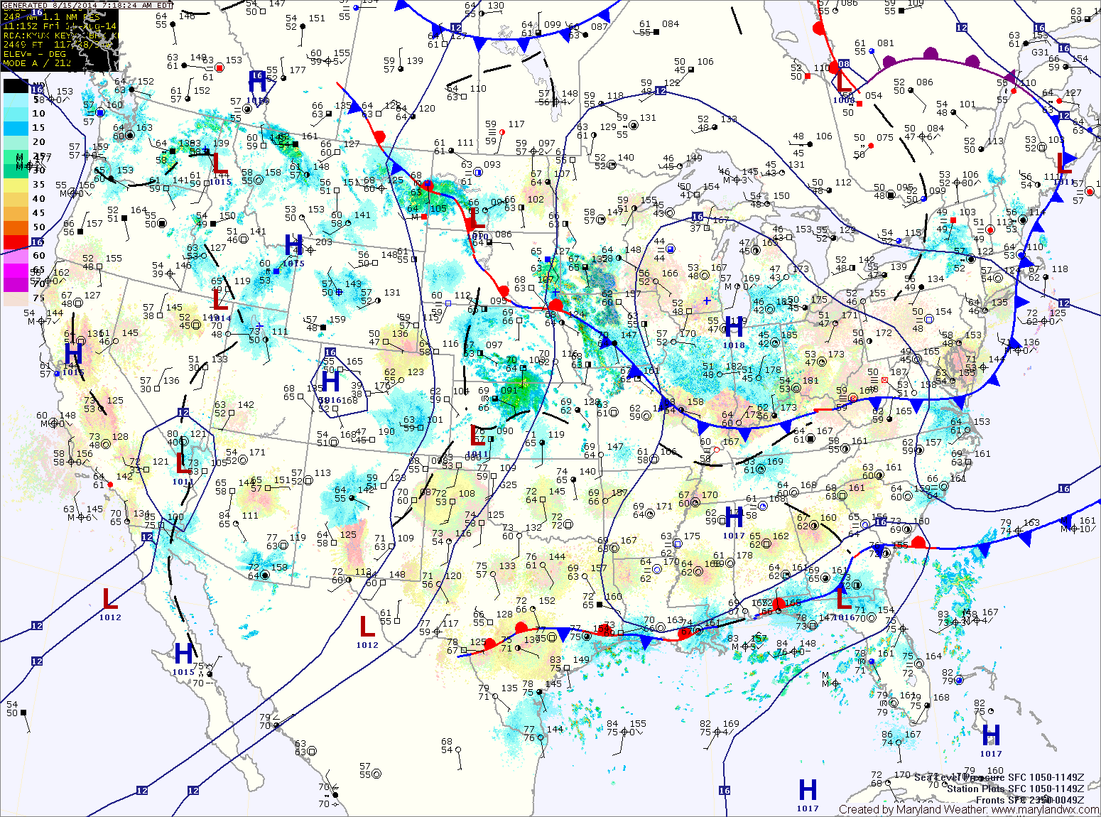
The high will move overhead and then slide off of the coast during the day tomorrow. This will allow warmer and more humid air to begin to flow back into the area. Highs will be in the low to mid 80s under mostly sunny skies.
A cold front will move into the area Sunday. The front, combined with warmer and more humid air will touch off isolated thunderstorms during the afternoon. Highs will be in the mid to upper 80s.
The Vane has two good articles that I recommend reading that outlined what happened as well as the results with pictures from around the area.
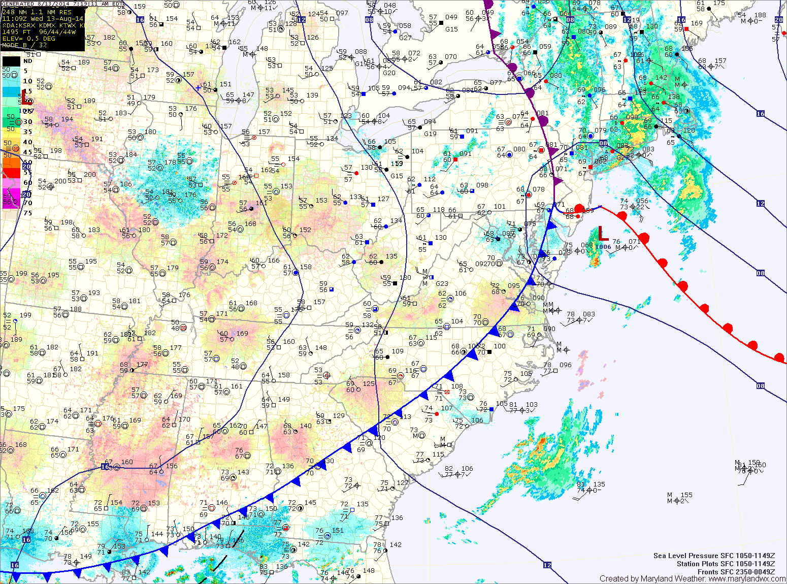
The cold front responsible for the heavy rainfall and flooding has pushed east of the state, ushering in drier air. Expect mostly sunny skies today and highs in the low 80s.