Showers and Possibly Thunderstorms Today, Ending as Light Snow Tomorrow?
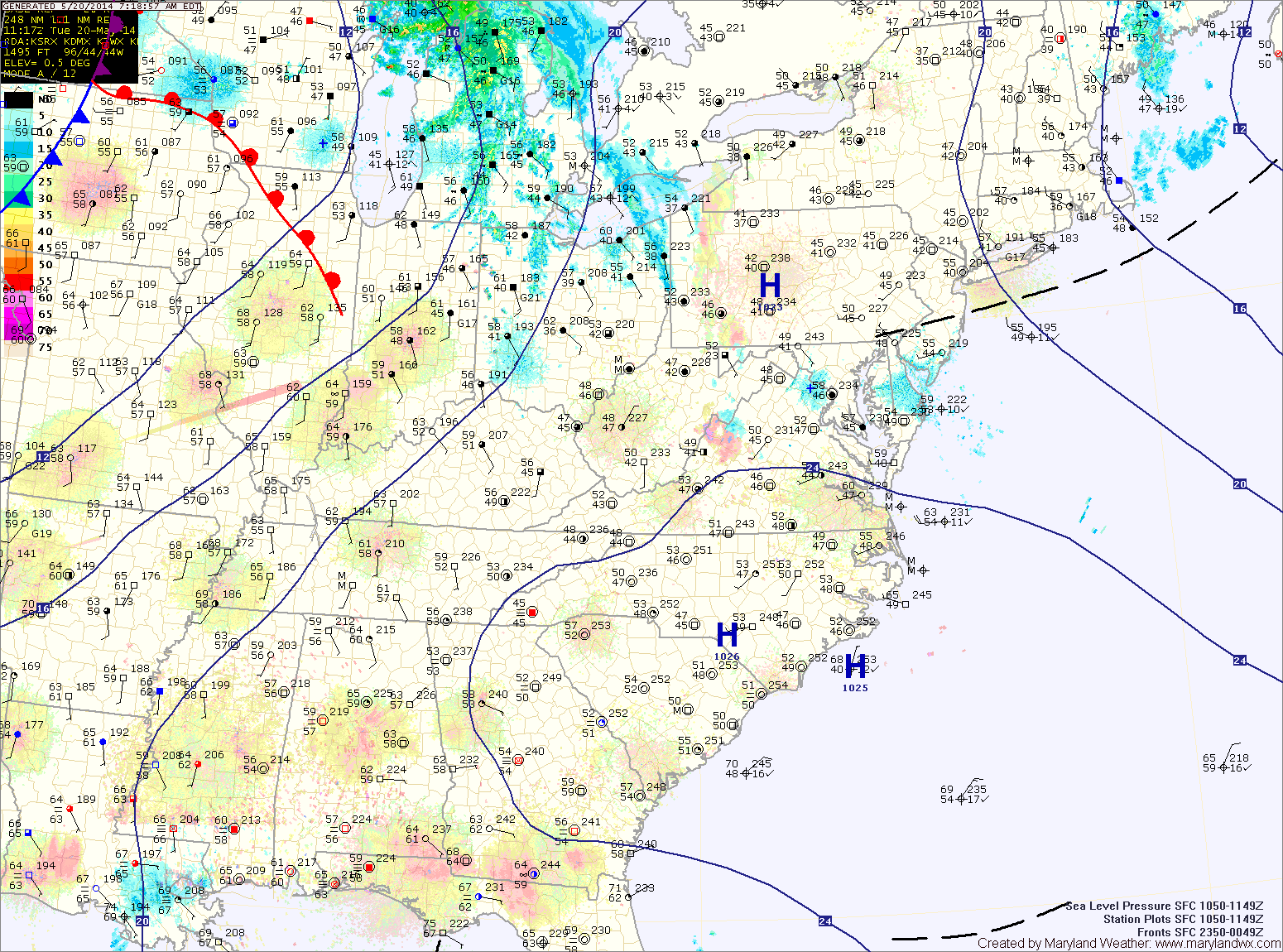
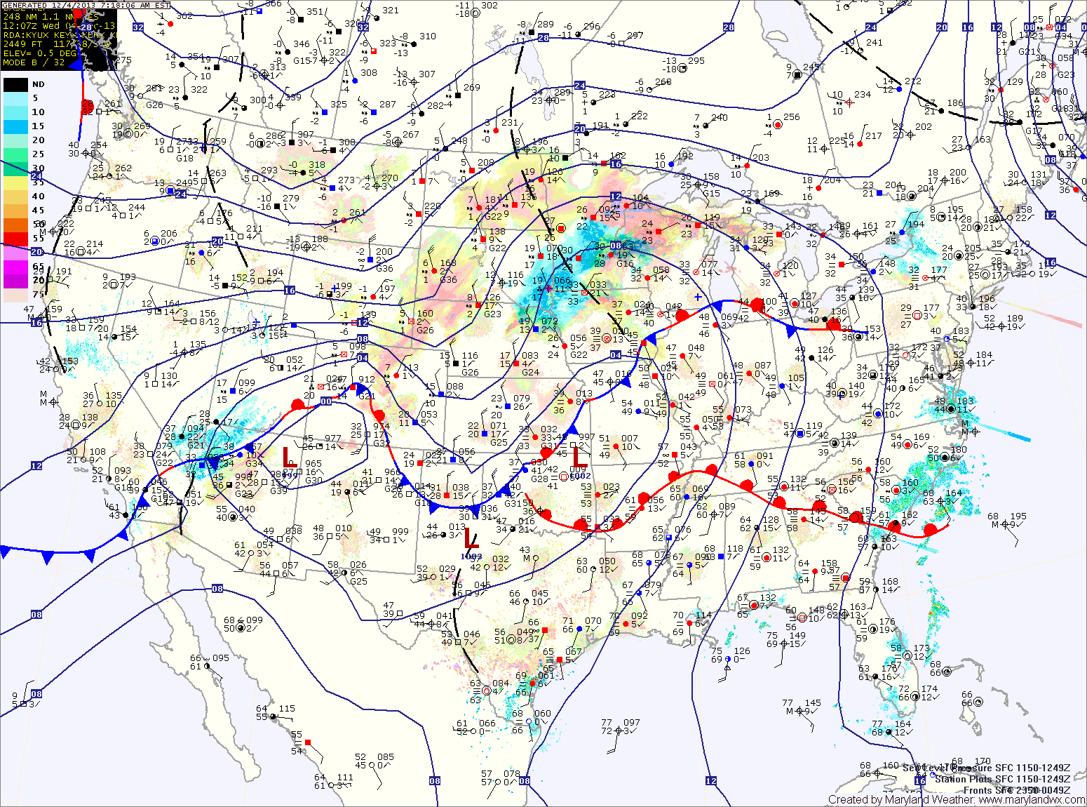
An area of low pressure with a warm front and cold front is currently to our west and poised to affect our area today and tomorrow. The warm front will…

Everything you need to know about the weather in Maryland
Scattered showers and thunderstorms remain likely tomorrow, especially in the afternoon and evening as a cold front approaches. Highs will be in the mid to upper 70s.
Rain and thunderstorm chances continue into tomorrow night before tapering off late. By Thursday morning, clouds will begin to decrease slightly. There is a slight chance of a lingering shower or pop-up thunderstorm during the afternoon hours. Highs will be in the low 80s.
A disturbance will move along the front tonight, bringing another chance of showers and possibly a thunderstorm during the overnight and into tomorrow morning.
Skies should then gradually clear and afternoon highs should push well into the 70s.
Onshore flow should keep clouds in the area and may result in mist or drizzle tomorrow night into Friday morning.
A weak disturbance will move along the front tonight into tomorrow morning, bringing a slight chance of showers. Clouds will remain in the area tomorrow, with highs around 70.
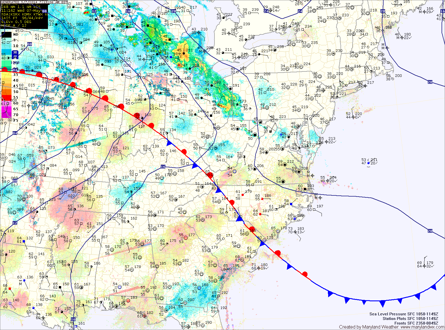
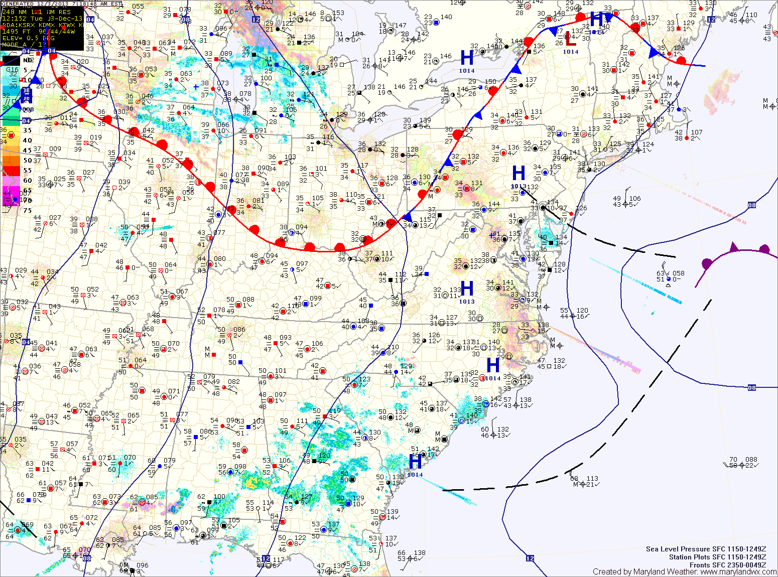
The front will push northward on Wednesday, bringing another chance of showers to the area as it does. Highs on Wednesday will be in the upper 60s.
Thursday will be warmer as southerly flow develops across the region. Highs will be in the low 80s under partly sunny skies.
The warm front should make some more progress northward before the cold front arrives. Expect temperatures to reach the low to mid 50s in central Maryland, mid to upper 40s north and west.
Showers will arrive in the area over the next hour or so. A thunderstorm is also possible this morning as the front moves closer. Expect isolated heavy rainfall and gusty winds in any storms that develop.
The front should cross the entire state by early afternoon, gradually bringing an end to the rain threat.
Clouds will decrease slightly tomorrow morning before increasing again ahead of a cold front. The front will bring showers to the area tomorrow night. Highs will be warmer than today, pushing into the mid 60s ahead of the front.
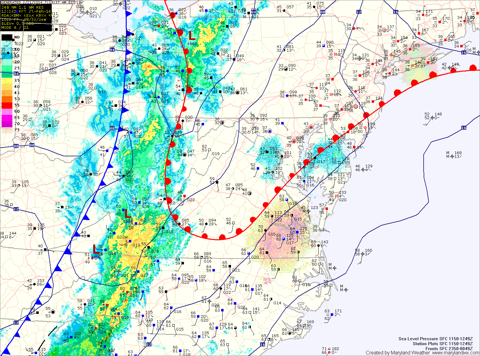
The front will slow down and possibly stall out over the area on Friday. Expect periods of rain through the day on Friday and into Friday night. Highs will top out in the upper 50s.
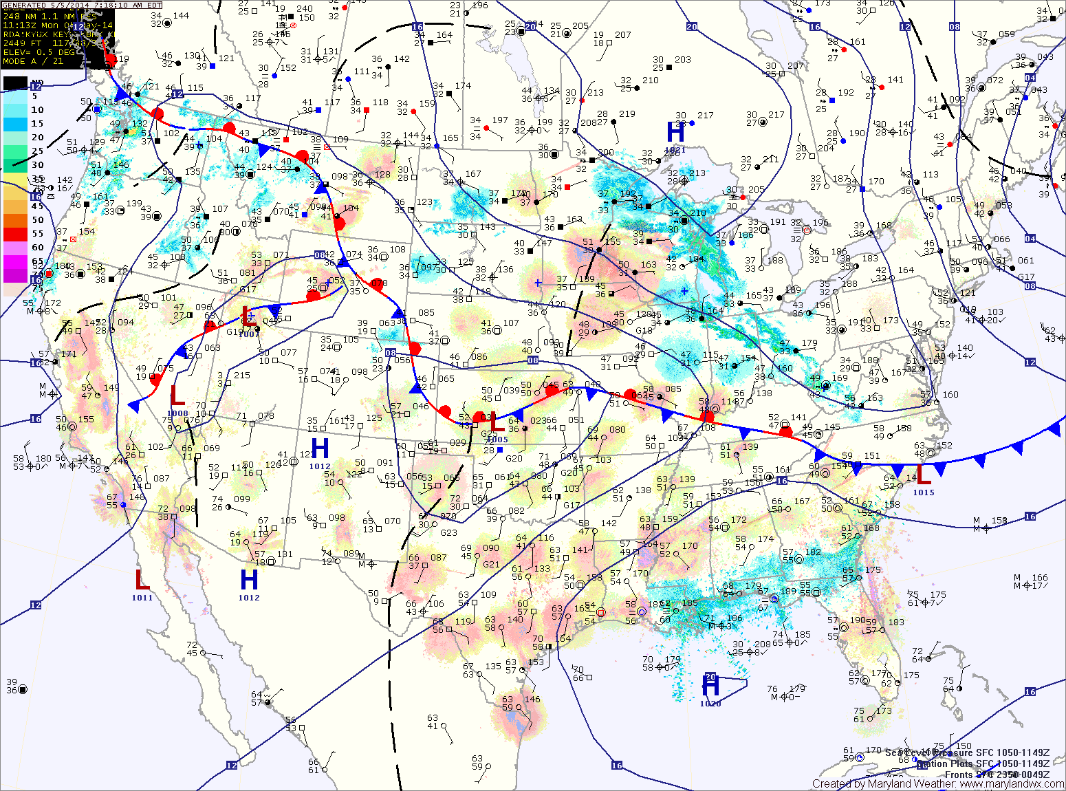
A warm front will move into the area tomorrow, bringing a return to cloudy conditions by the afternoon and perhaps light rain or drizzle tomorrow night. Highs will be in the low to mid 50s.
A slow moving cold front will approach on Thursday, bringing a slight chance of showers to the area. Highs will be in the low 60s.